
Description
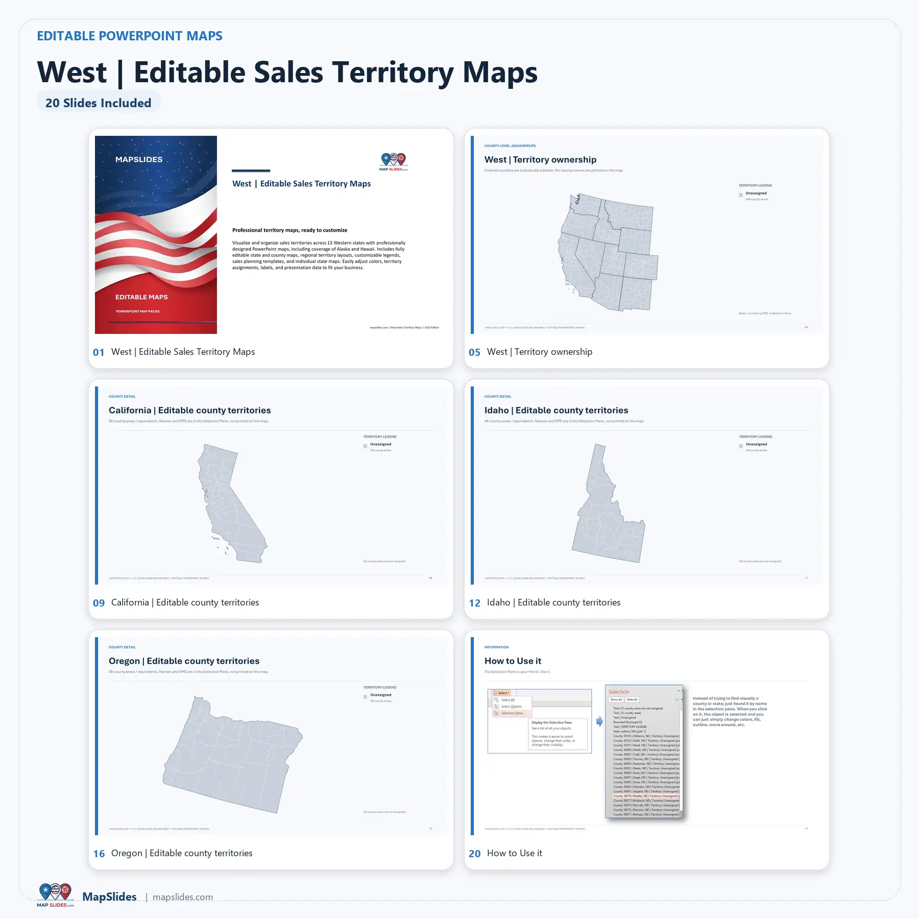
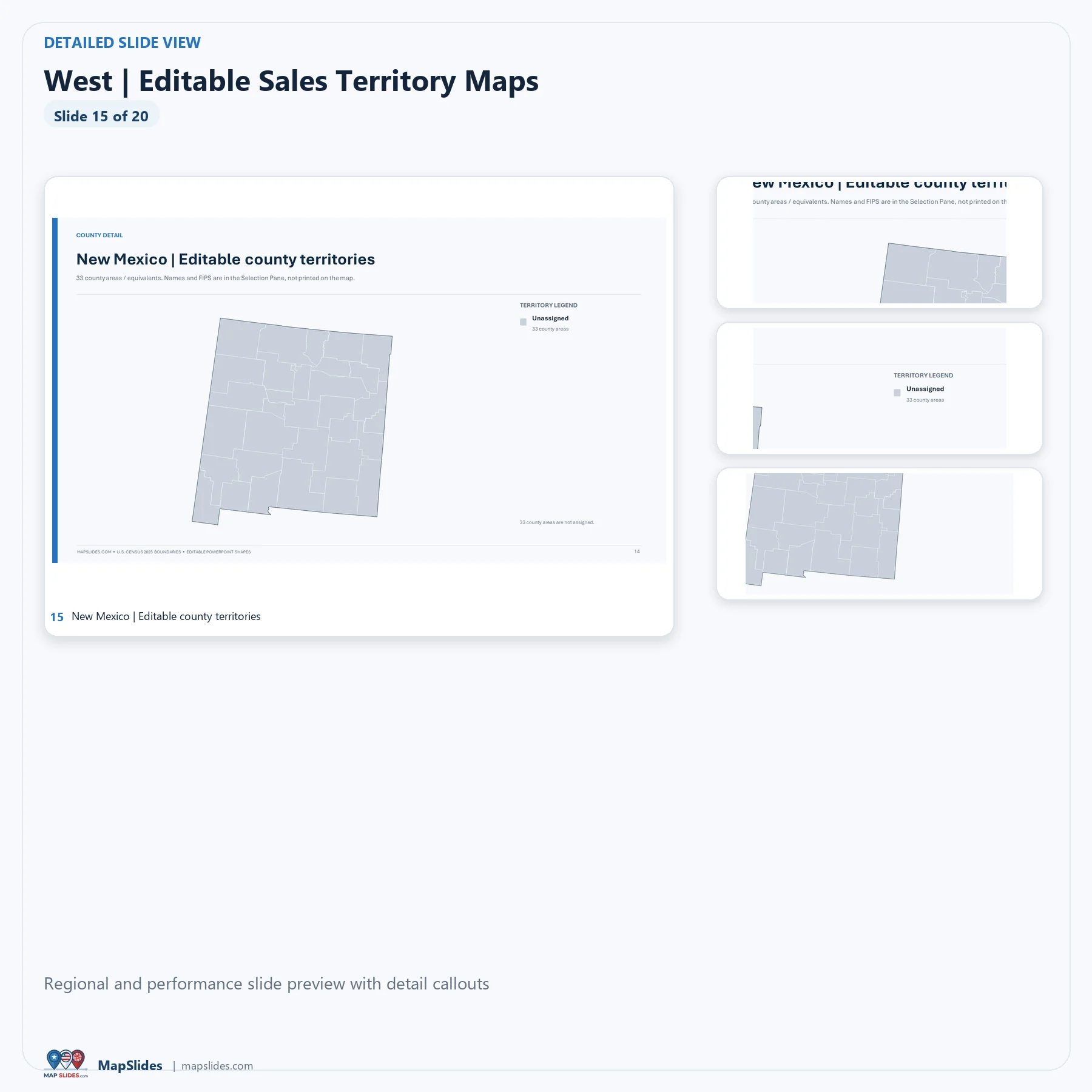
West Editable Sales Territory Maps – PowerPoint is a prebuilt, downloadable PowerPoint bundle for sales territory planning across the West region.
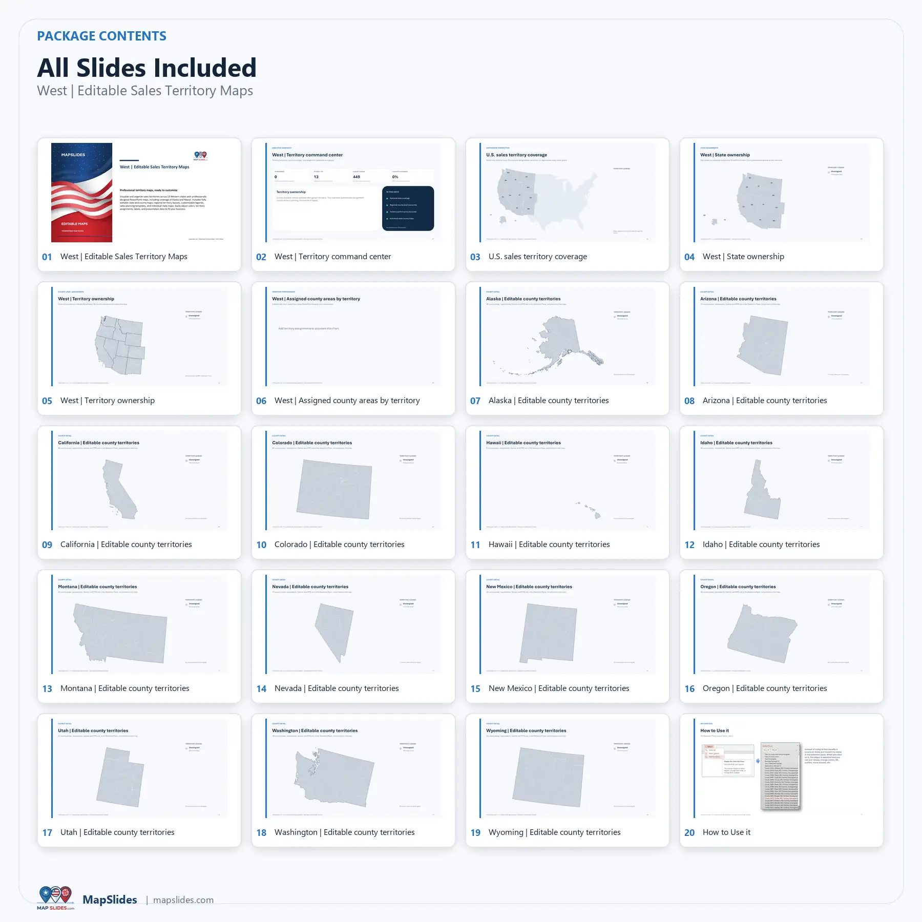
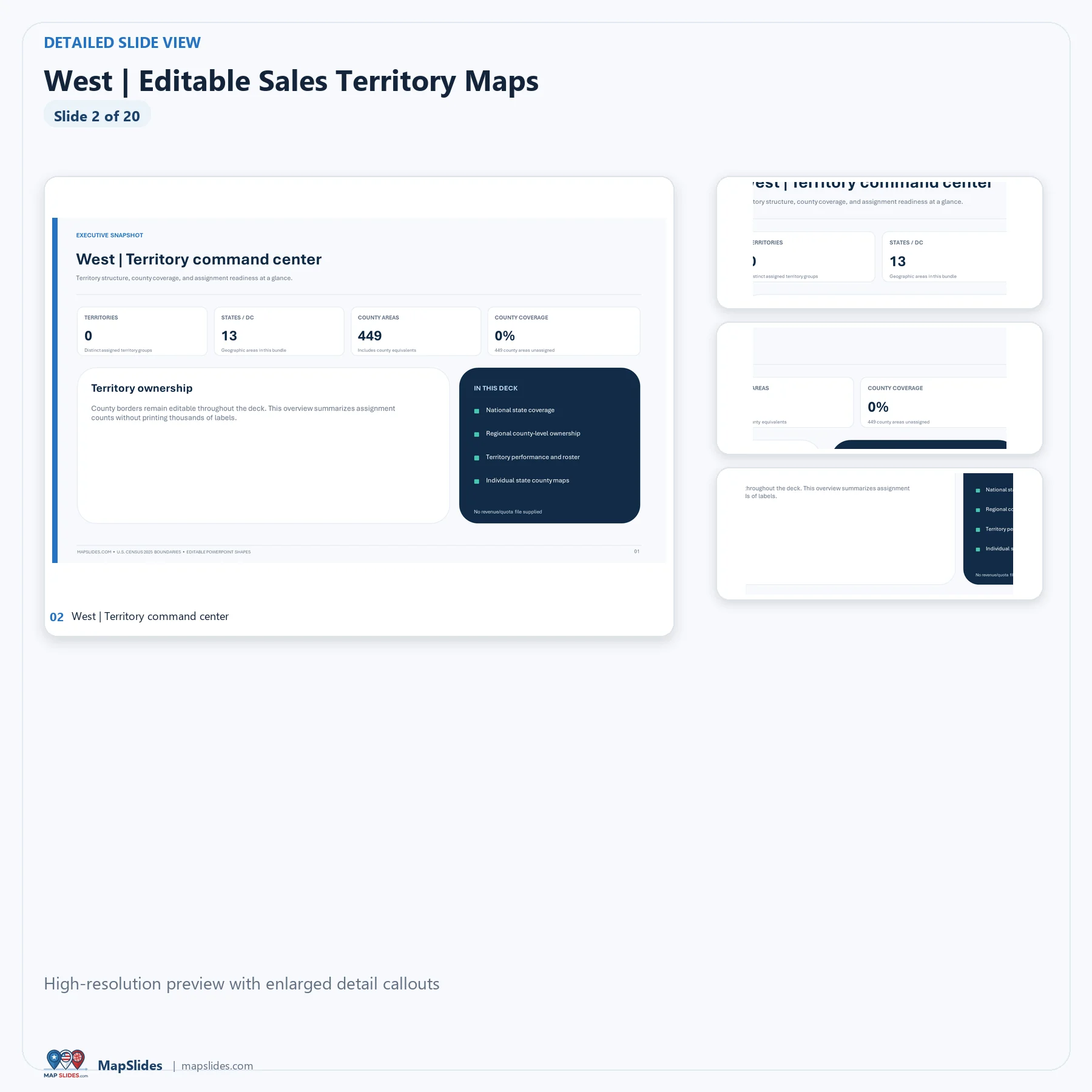
- Coverage: 13 states and 449 county and county-equivalent areas.
- States included: Alaska, Arizona, California, Colorado, Hawaii, Idaho, Montana, Nevada, New Mexico, Oregon, Utah, Washington, Wyoming.
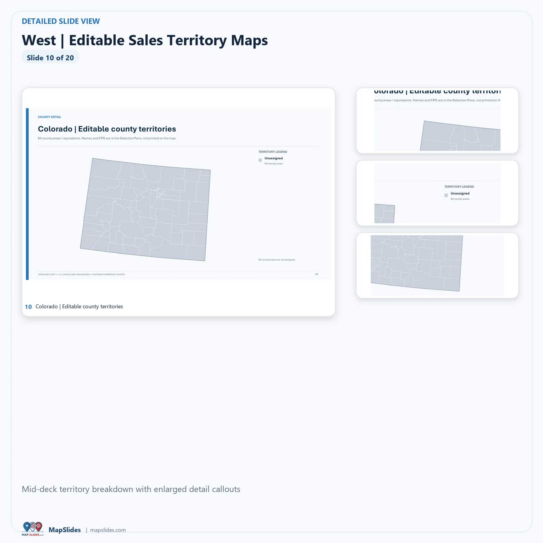
- Editable PowerPoint maps: native geographic shapes that can be recolored, edited, and incorporated into presentations.
- Planning tools: regional overview, state-level overview, individual-state detail layouts, legends, and an editable territory-performance/dashboard layout.
- Presentation editing: customize colors, text labels, legends, and your own territory or account data directly in PowerPoint.
The included layouts are editable planning templates; they do not provide live sales data, automatic optimization, or data synchronization.
This is a one-time purchase for a prebuilt digital presentation. After payment and file attachment, WooCommerce provides instant digital delivery through its protected download system, with unlimited downloads and no expiration.
County names are not printed as labels across the map artwork; county-level detail is organized in the presentation and the PowerPoint Selection Pane. This product does not accept a CSV upload to modify the deck automatically.
Reviews
There are no reviews yet.