Description
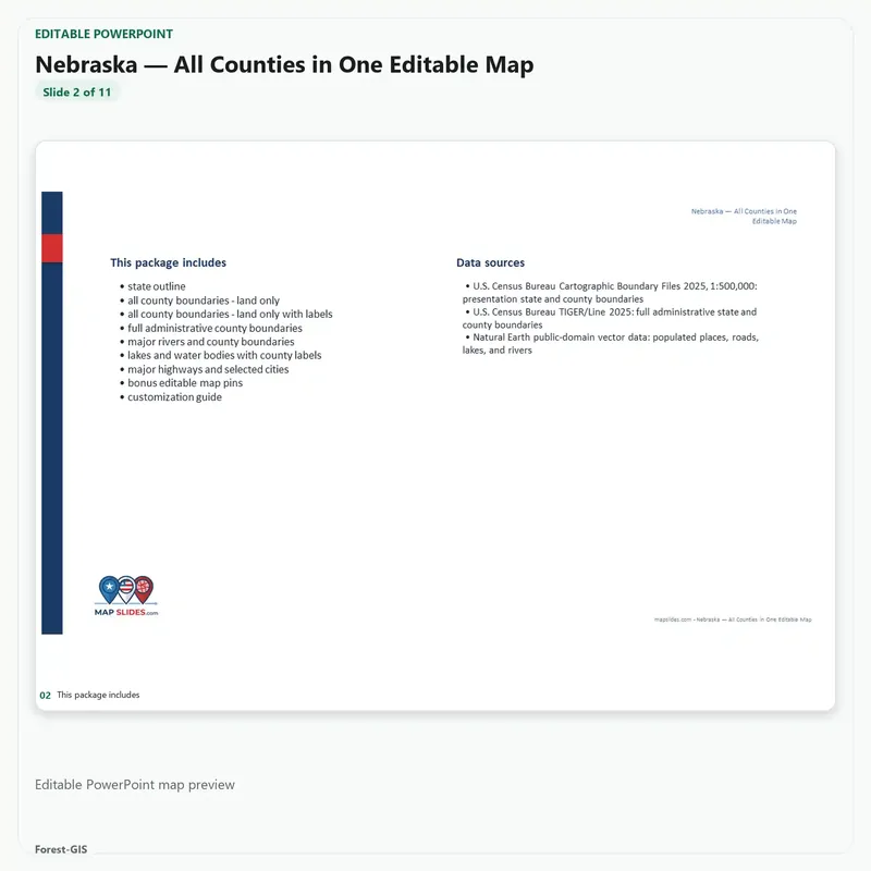
Nebraska — All Counties, Statewide Editable Map (PPTX + SVG) provides editable PowerPoint and SVG vector map content for Nebraska. This instant digital download includes only the editable files and map layers listed below.
What’s included
- Editable PowerPoint map for Nebraska
- Editable SVG vector map artwork
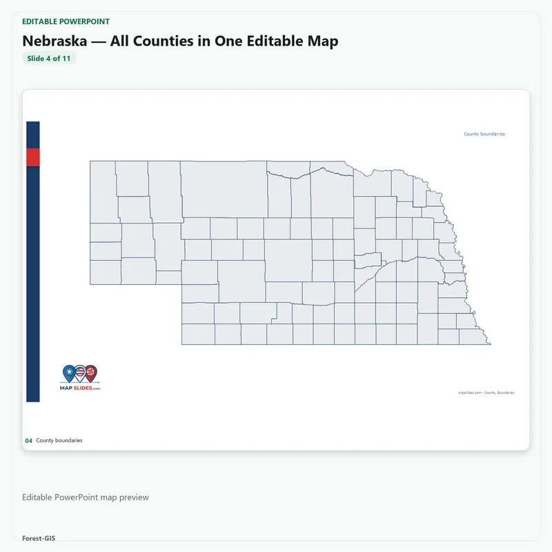
- Full Administrative County Boundaries
- County Boundaries — Labeled
- County Boundaries without labels
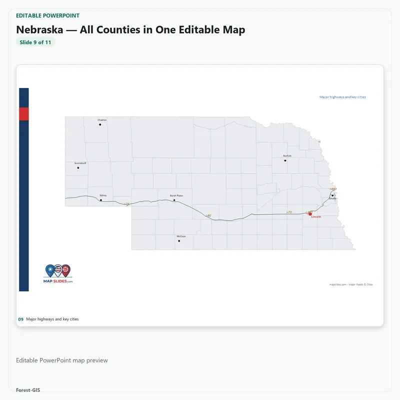
- Major highways and cities
- Major lakes and reservoirs
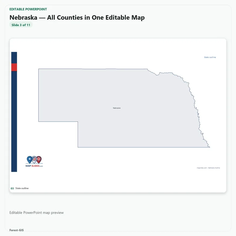
- State boundary
Included in this Editable Map Pack:
- Editable PowerPoint (PPTX) file
- Scalable Vector Graphics (SVG) file
- County boundaries, roads, and customizable labels
Ideal Use Cases:
Perfect for sales territory alignment, real estate presentations, municipal planning, and educational projects. Our maps are built to scale for high-quality printing and digital displays.


Reviews
There are no reviews yet.