Description
All 17 South state packs, every county, in one purchase.
Each state is a separate file and a separate download link. Nothing is merged into one map: you get 17 PowerPoint decks, one per state, and each one downloads on its own.
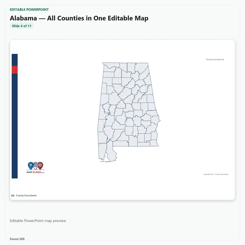
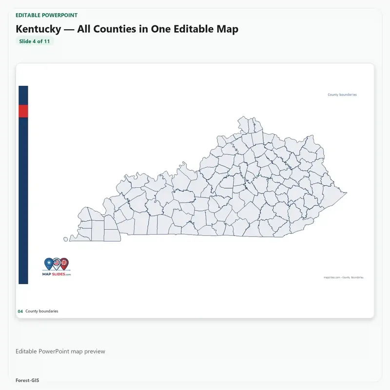
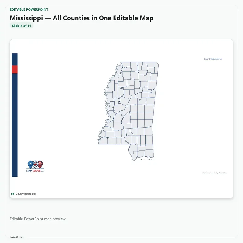
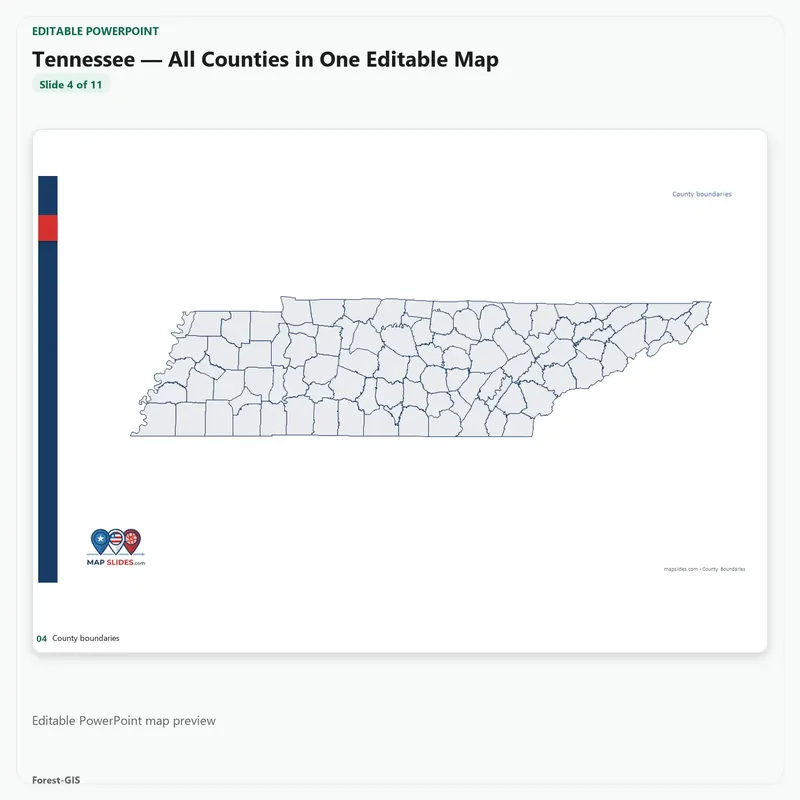
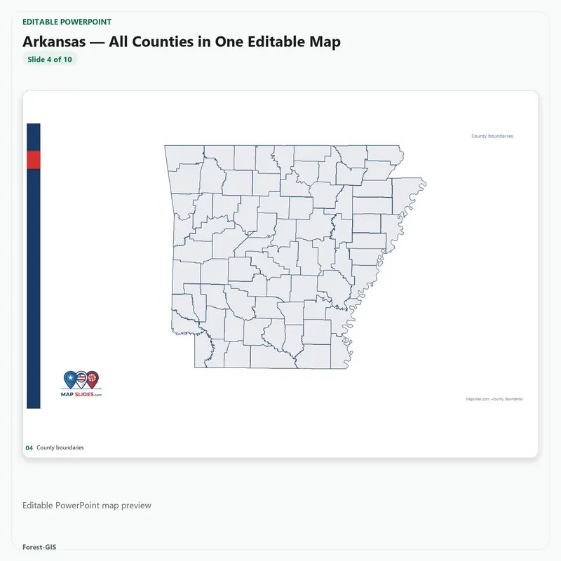
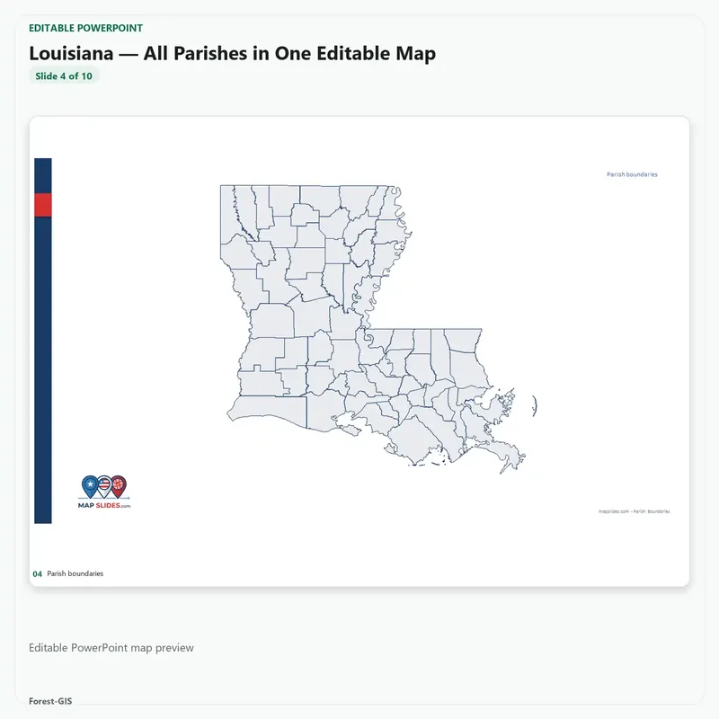
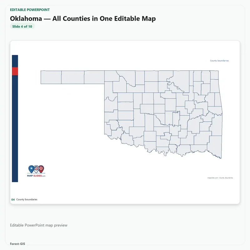
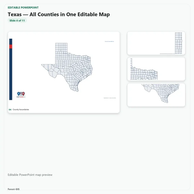
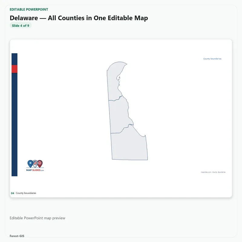
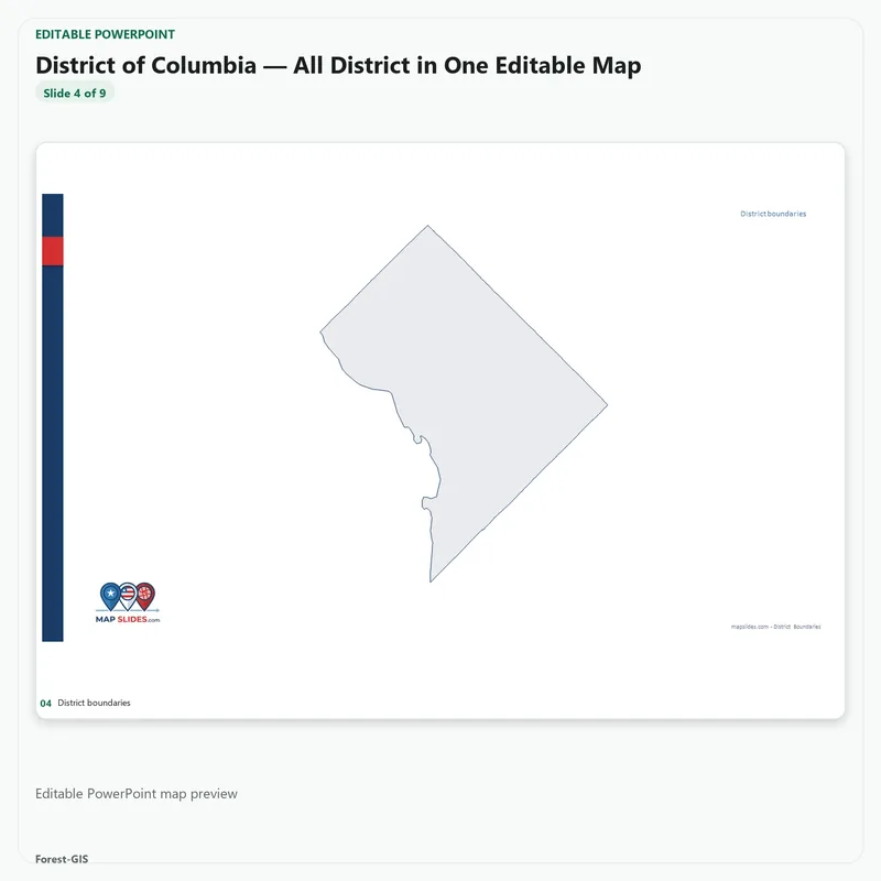
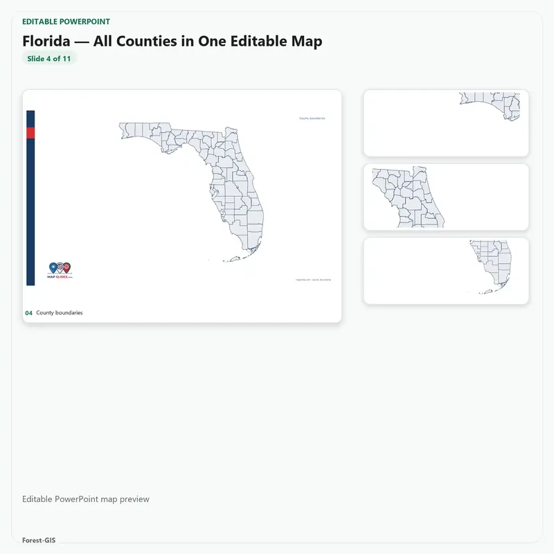
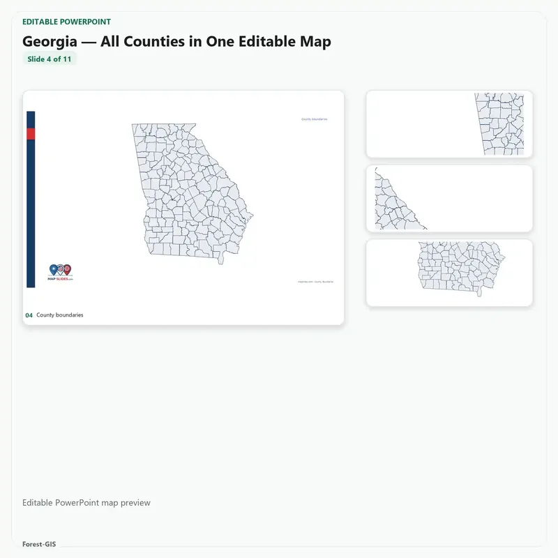
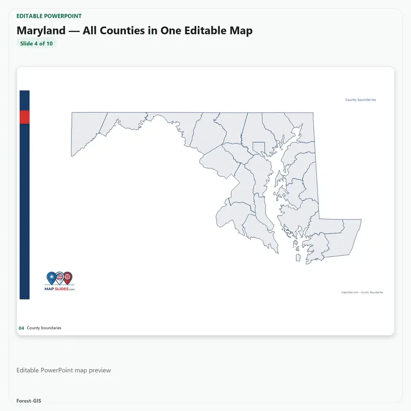
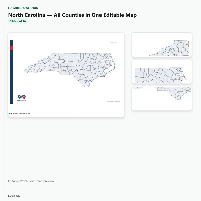
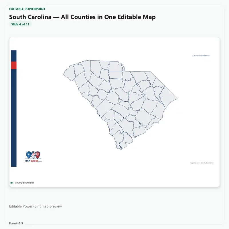
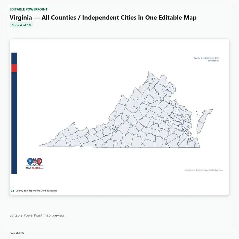
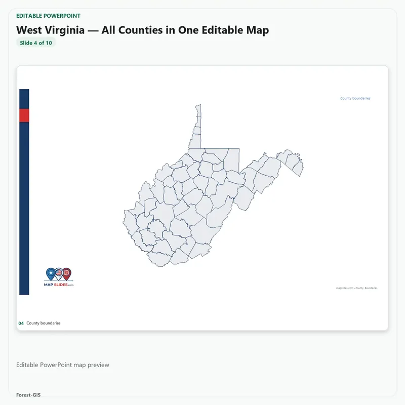
This bundle includes Alabama, Kentucky, Mississippi, Tennessee, Arkansas, Louisiana, Oklahoma, Texas, Delaware, District of Columbia, Florida, Georgia, Maryland, North Carolina, South Carolina, Virginia, West Virginia — covering 1,422 counties.
Every state is its own finished deck. Each download holds that state’s editable PowerPoint file plus its SVG maps. Nothing is combined, stitched or cropped into one regional map — no region-wide map file is included, and you are not receiving a single merged map of the region. Edit one state and the others are untouched.
What you can do with it
- Recolor any county, move any label, restyle any border — every shape is a real editable object, not a picture
- Present any state on its own, finished slide — nothing to assemble, align or redraw
- Use the same maps in PowerPoint, Illustrator or InDesign via SVG
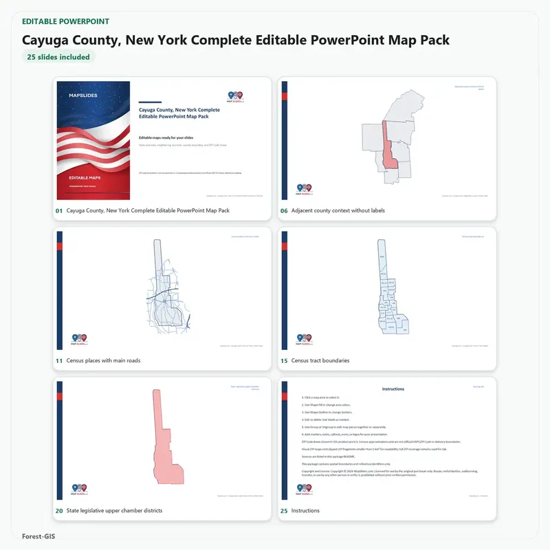
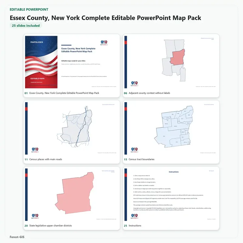
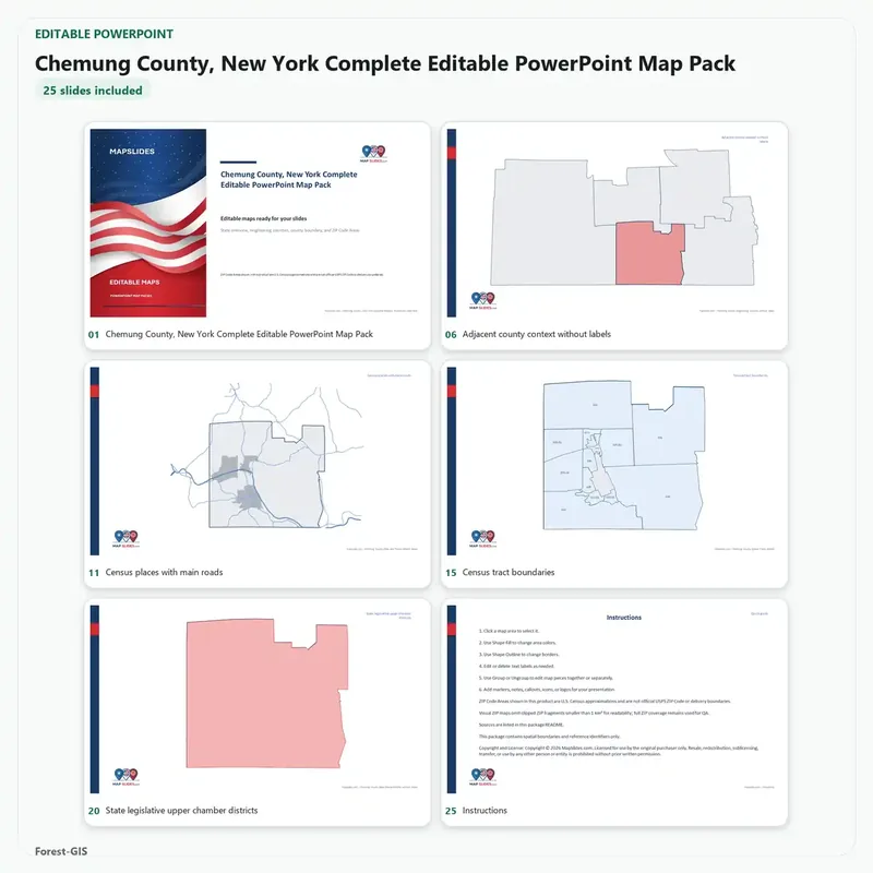
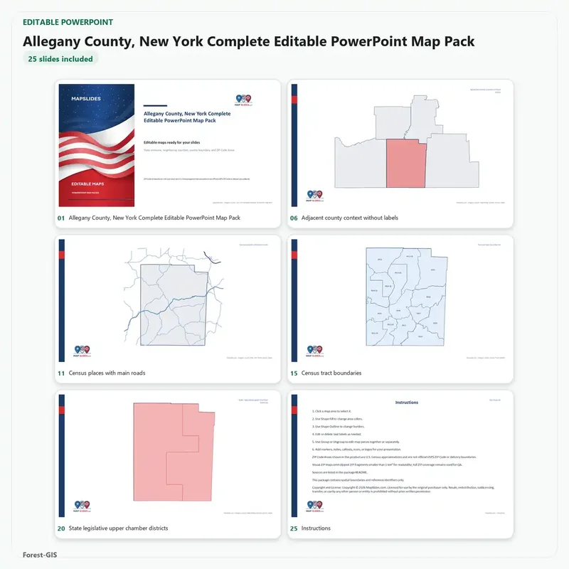
- Show county context, state context, ZIP Code Areas, Census tracts, school districts and legislative districts where those views exist for the state
What’s included
- 17 editable PowerPoint decks (.pptx), one per state
- SVG vector maps for design work
- 1,422 counties and county-equivalents
- Instant download, no subscription, files are yours to keep
Buying these states one at a time at today’s $14.95 per state pack costs $254.15. The bundle is $79.
Geography from U.S. Census TIGER/Line and Cartographic Boundary files. ZIP Code Areas are Census approximations, not official USPS delivery boundaries. See the free sample pack before you buy.


Reviews
There are no reviews yet.