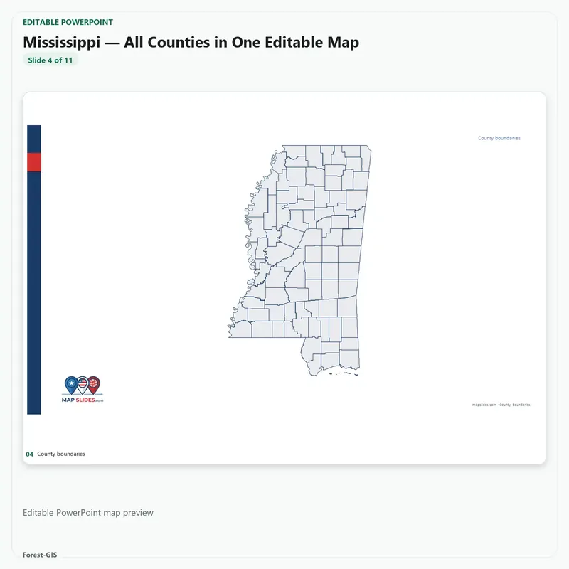
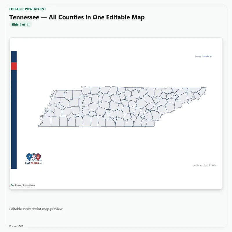
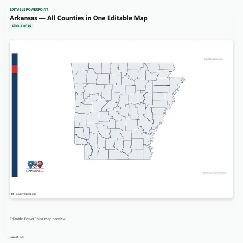
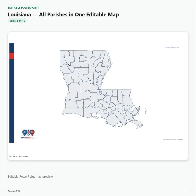
Description
Every county in America, on your drive.
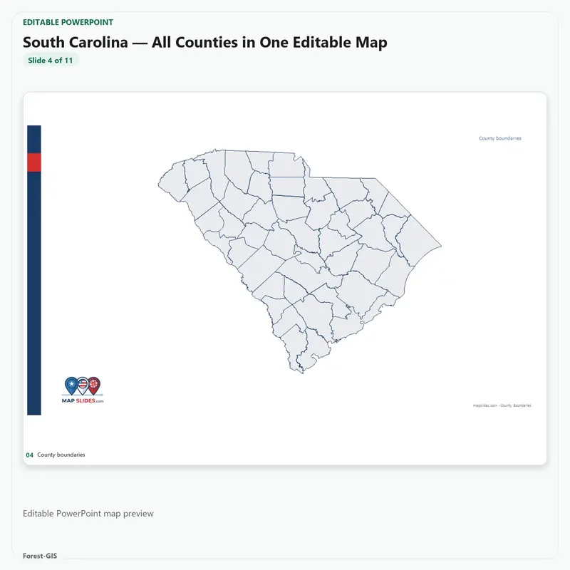
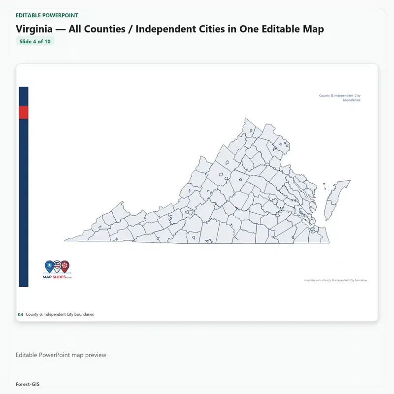
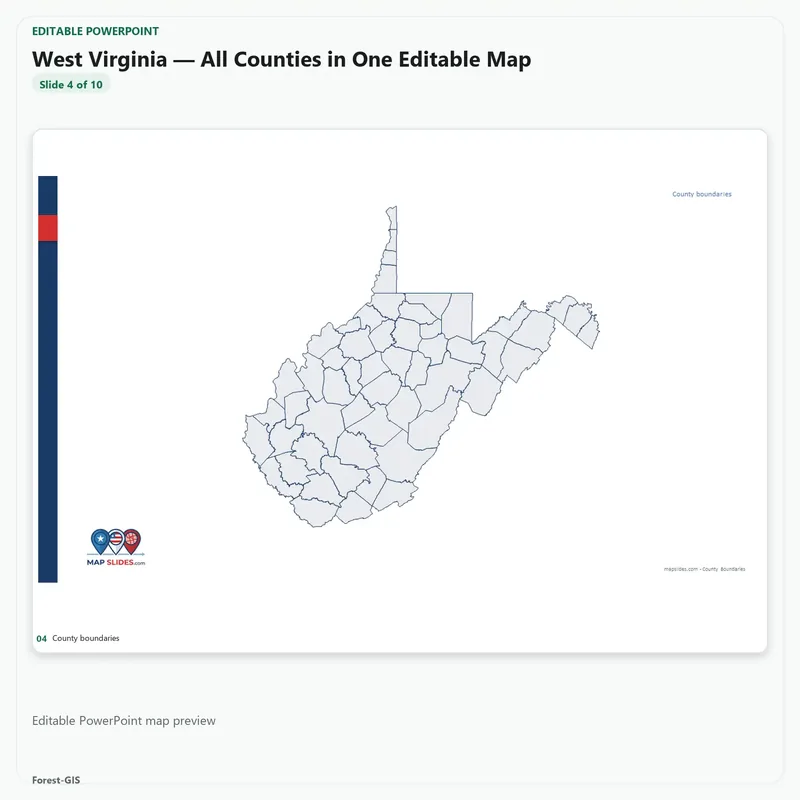
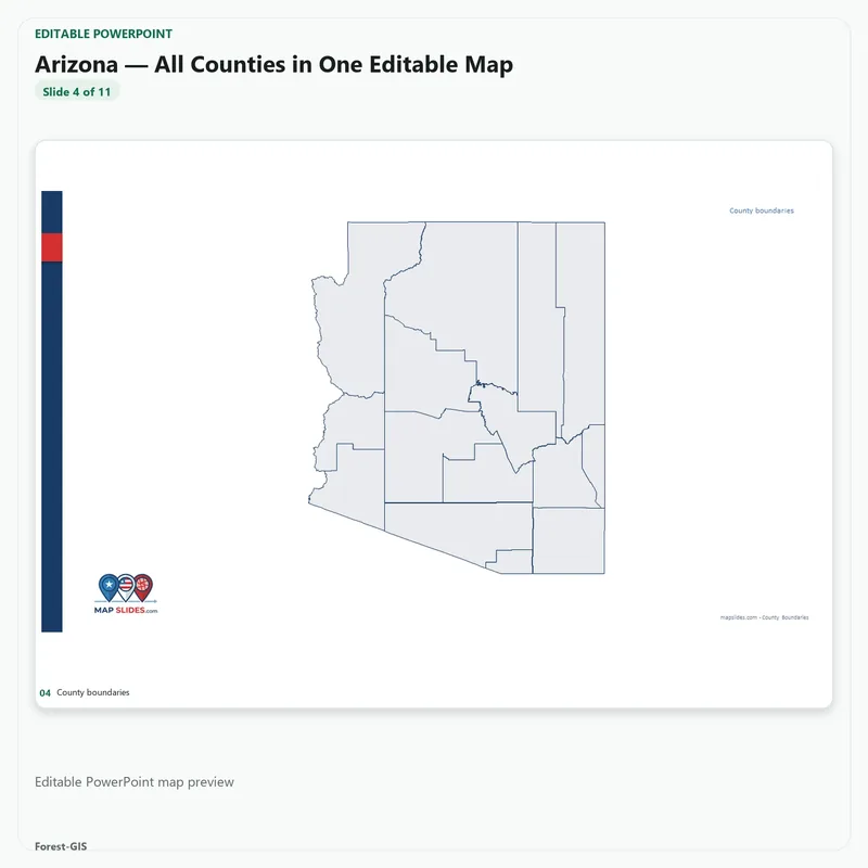
Each state is a separate file and a separate download link. Nothing is merged into one map: you get 51 PowerPoint decks, one per state, and each one downloads on its own.
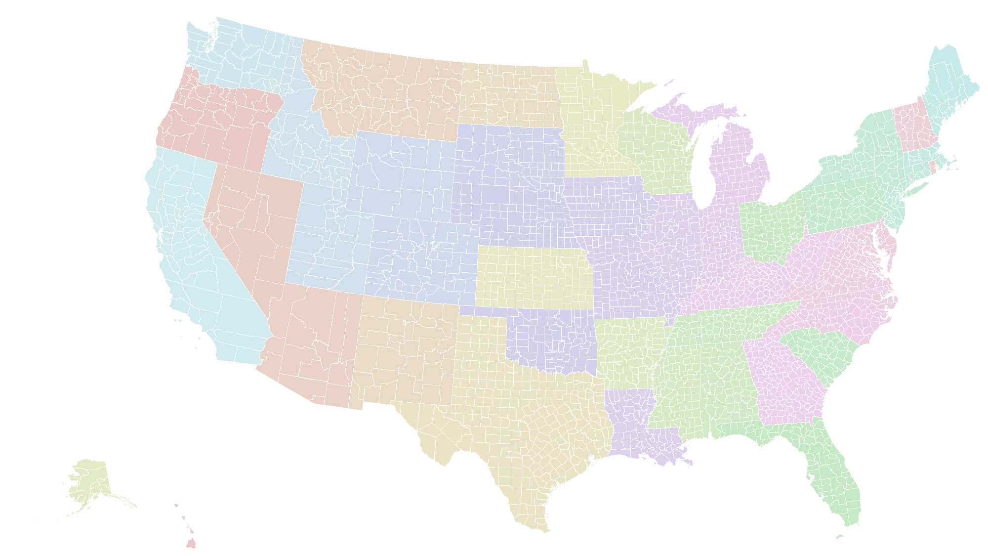
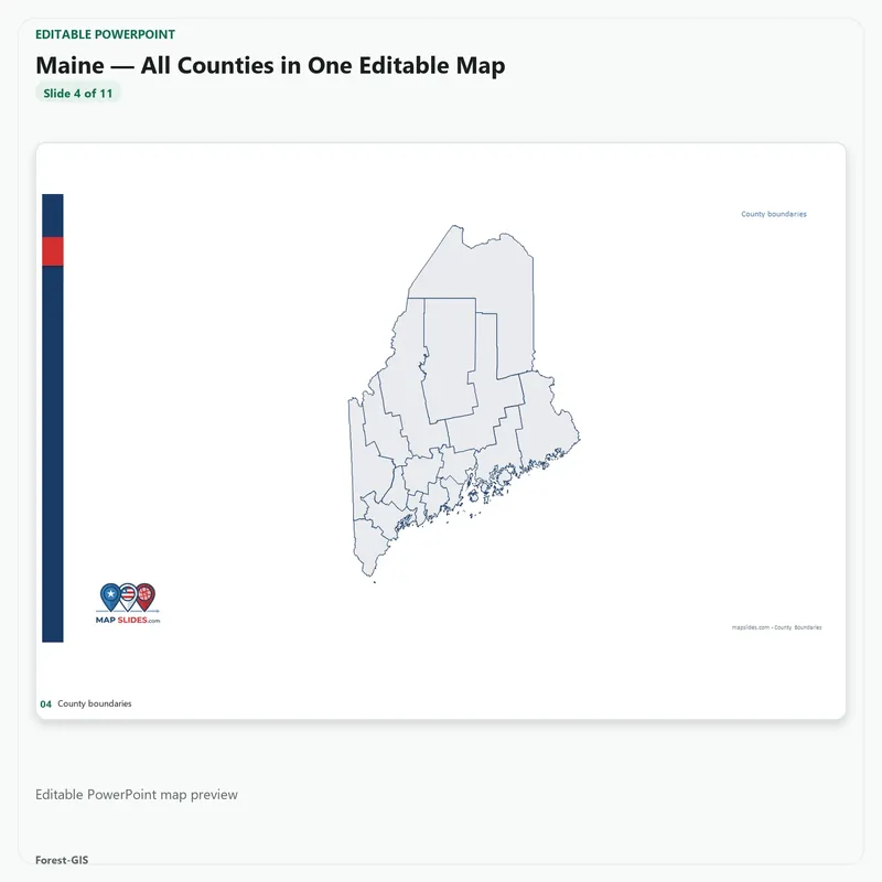
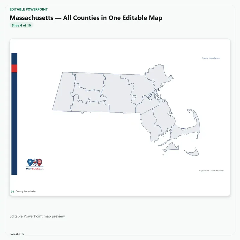
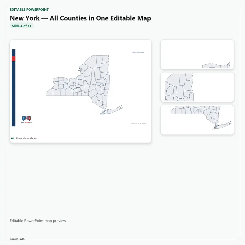
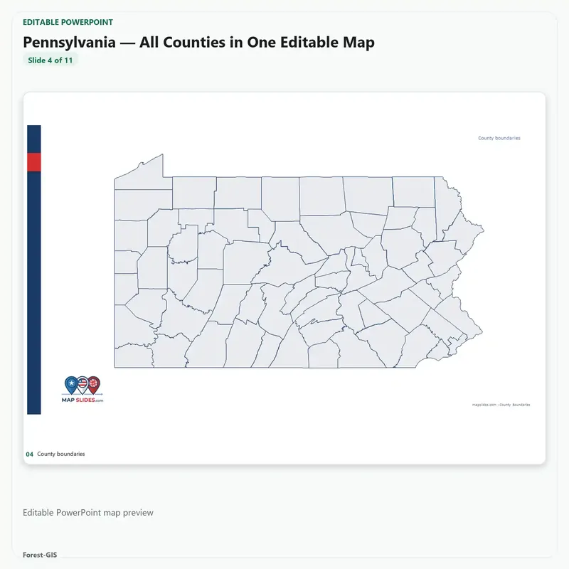
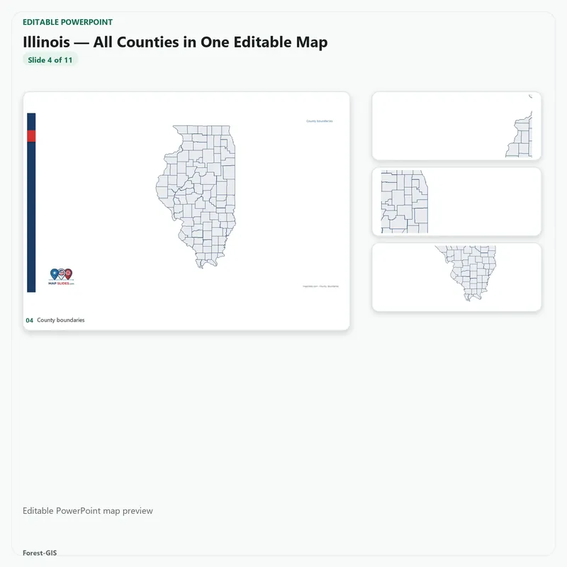
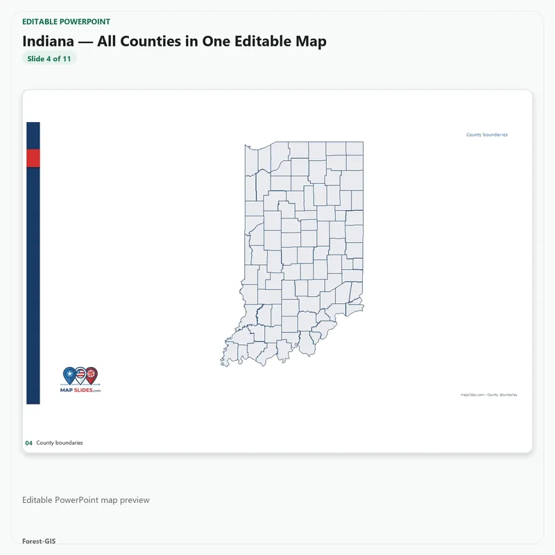
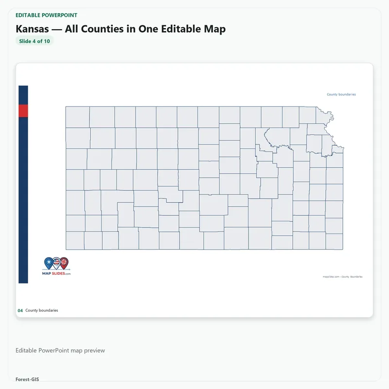
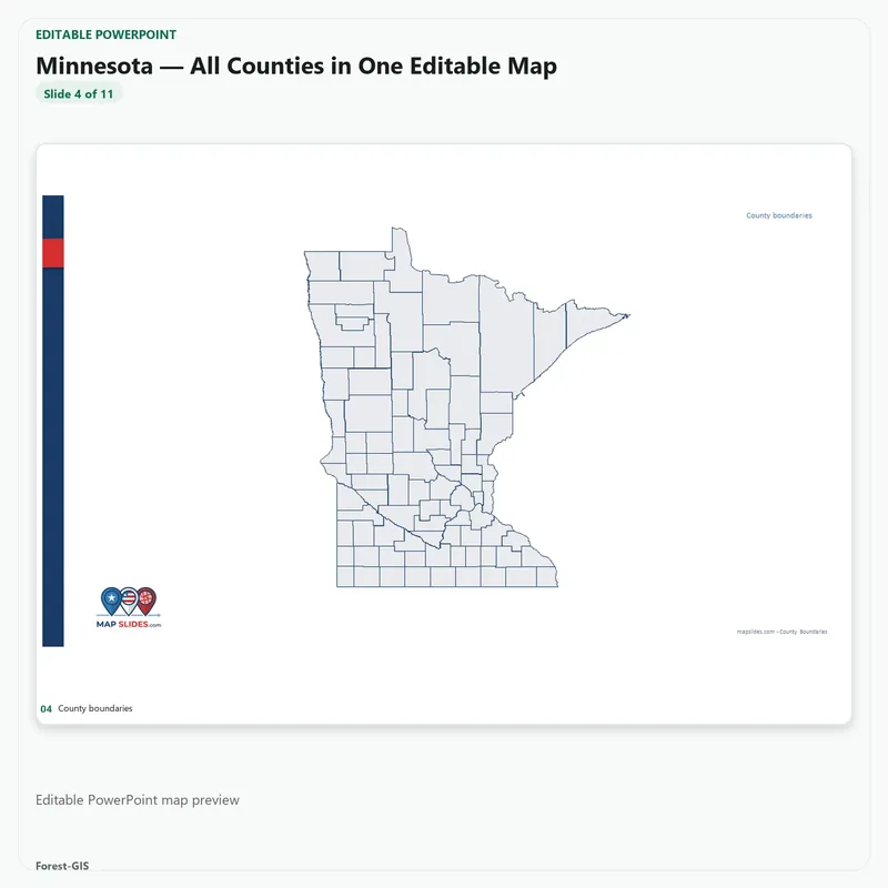
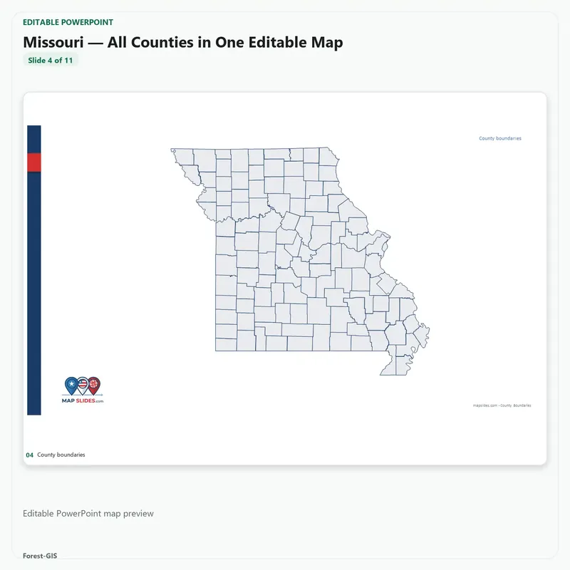
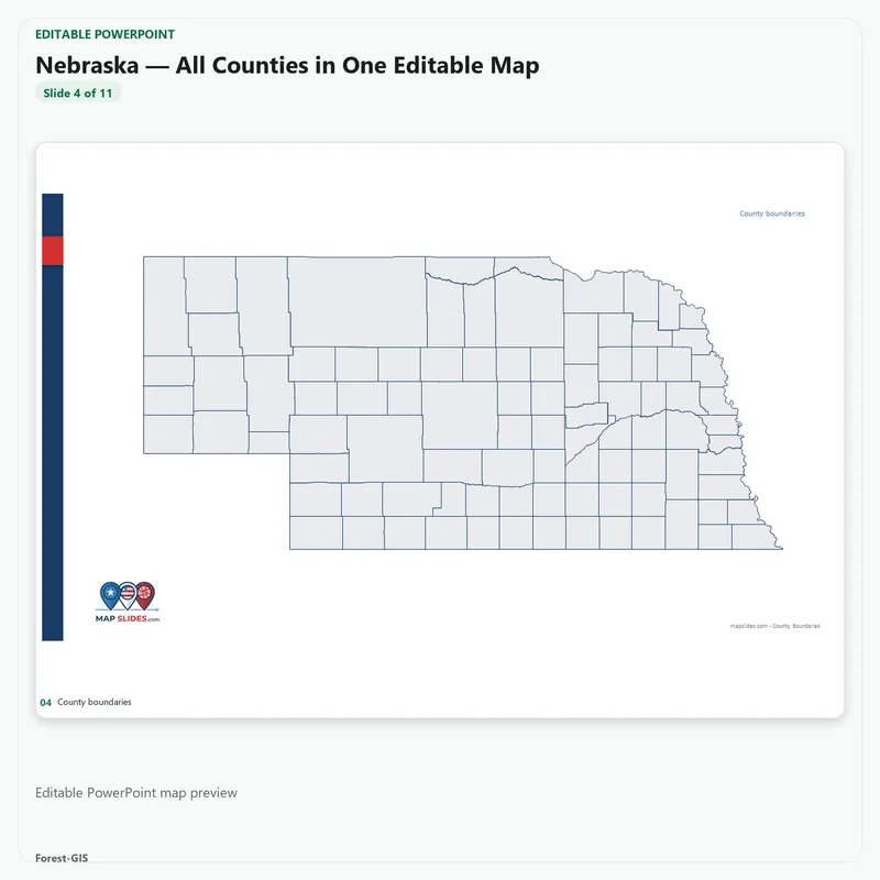
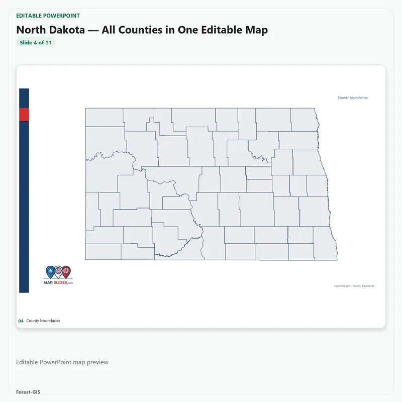
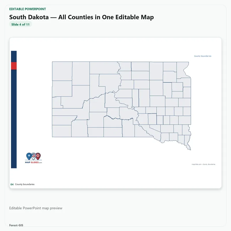
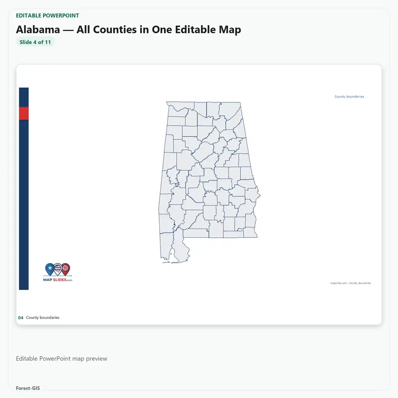
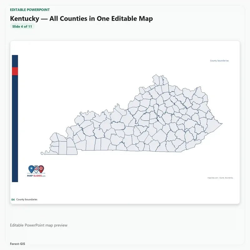
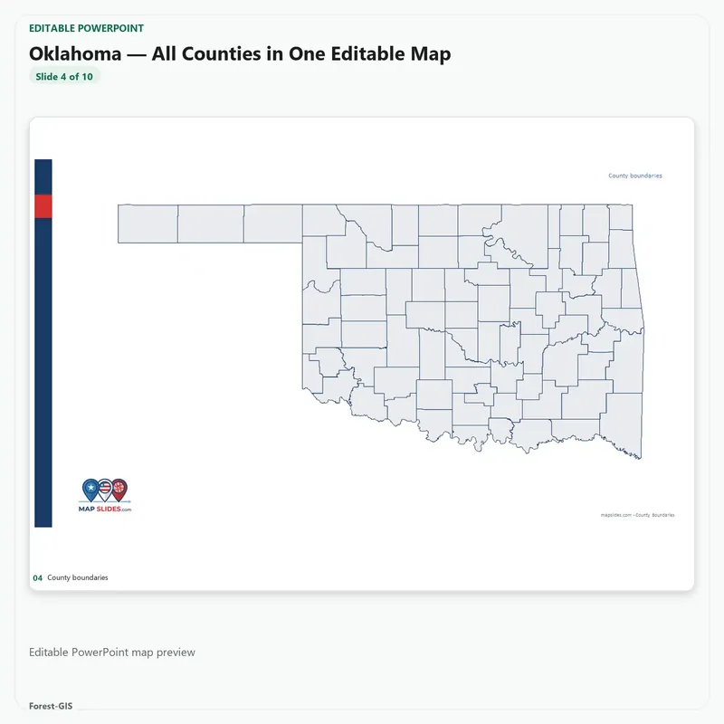
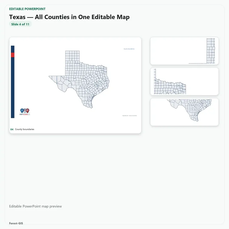
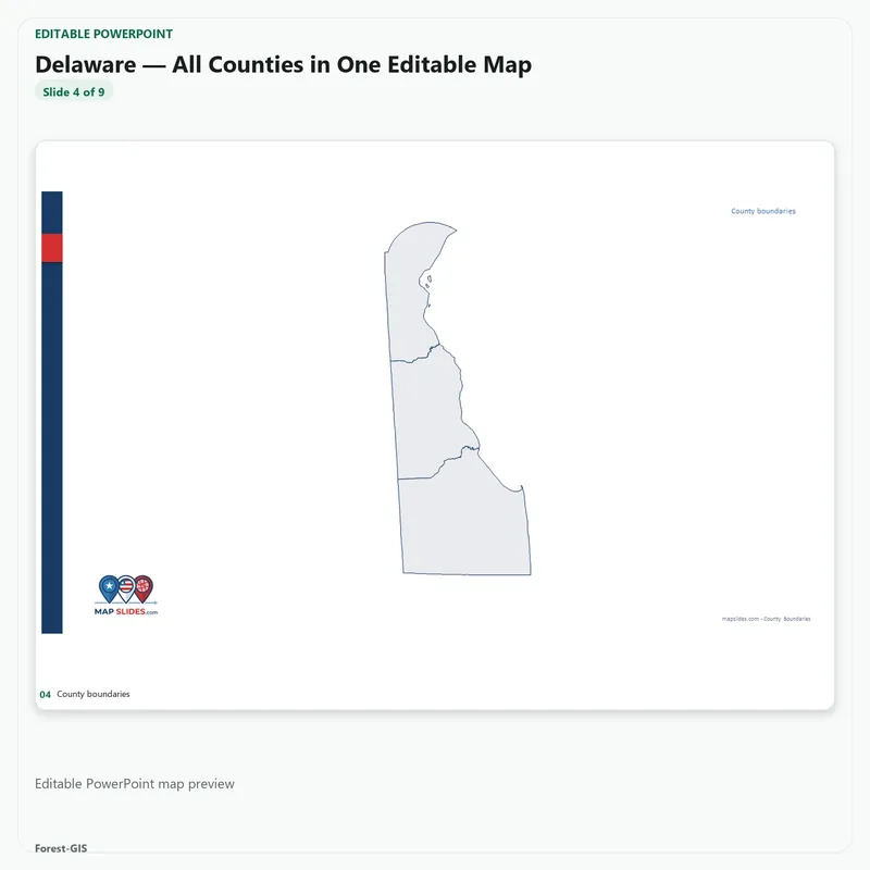
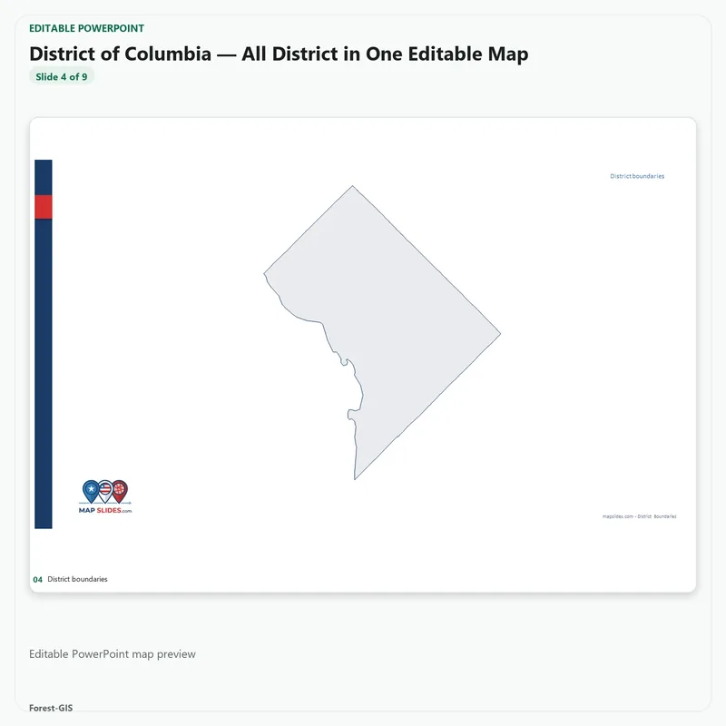
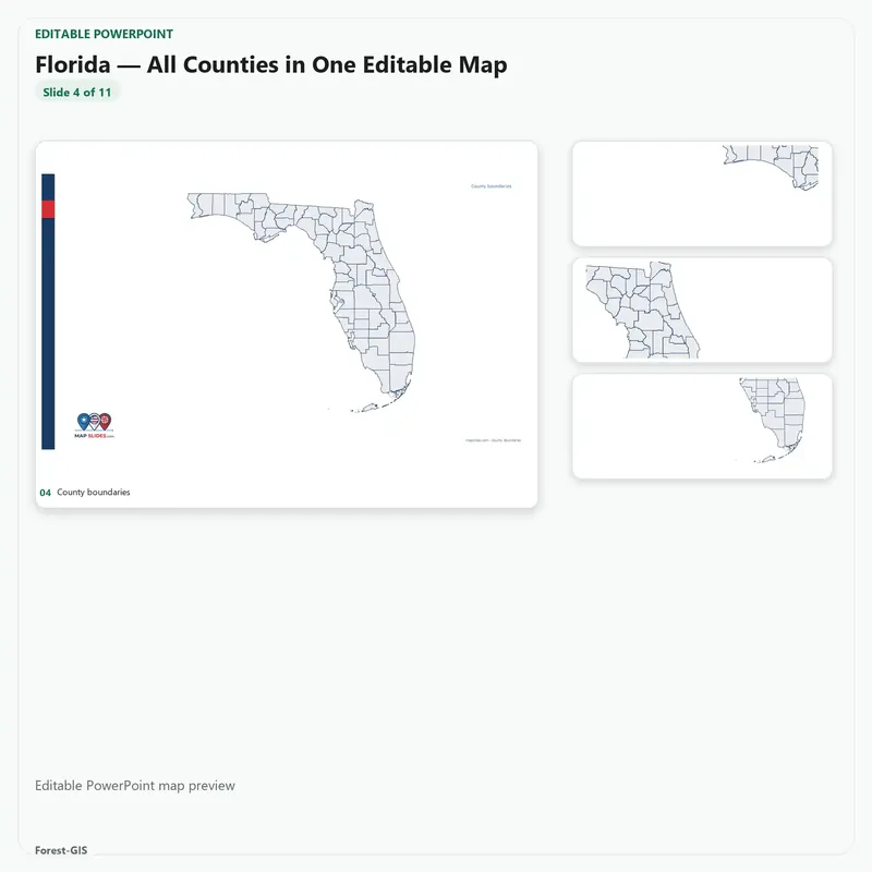
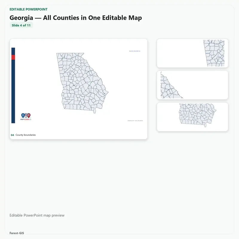
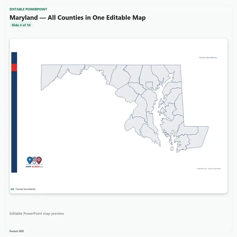
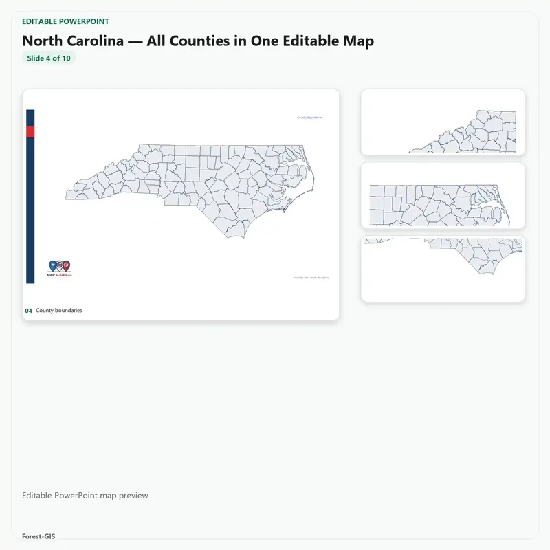
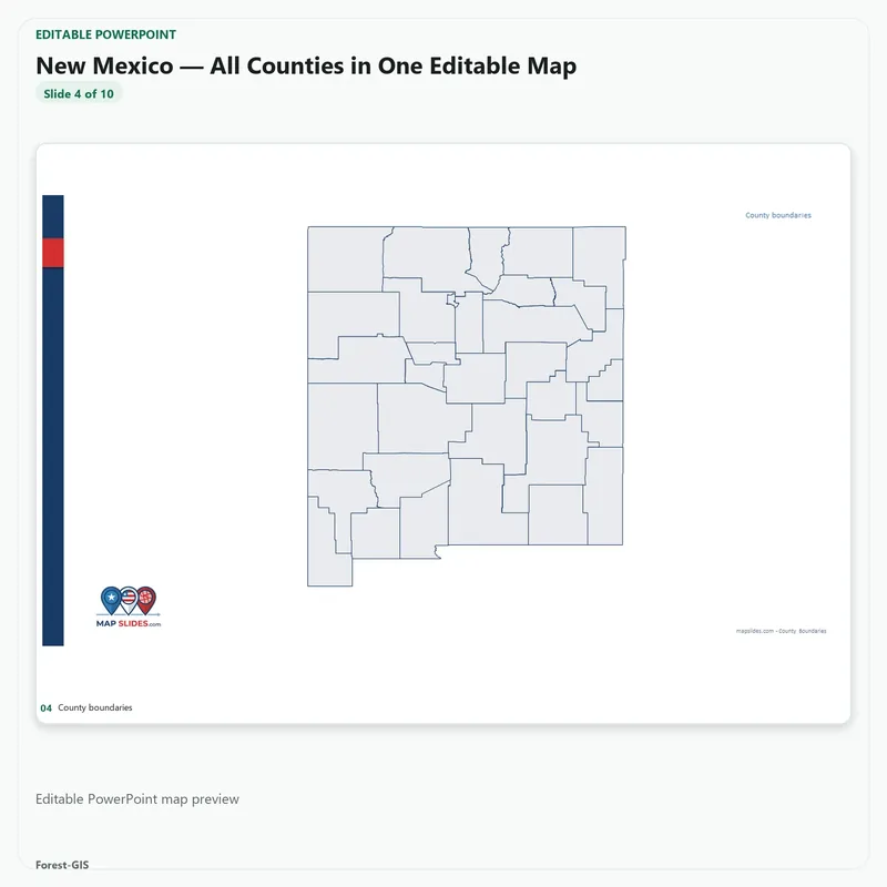
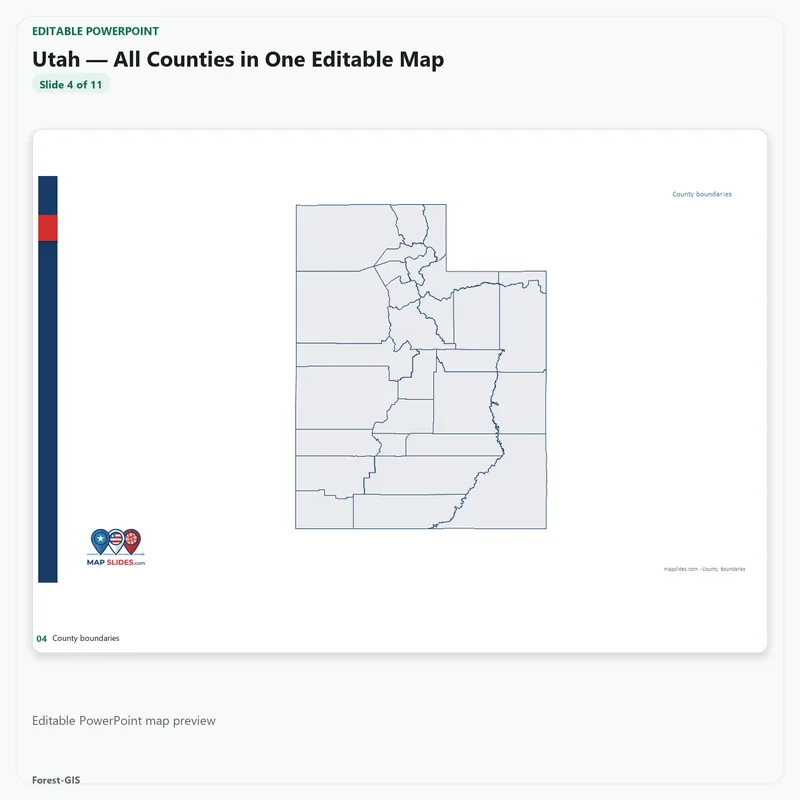
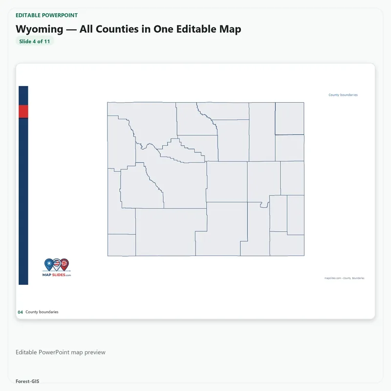
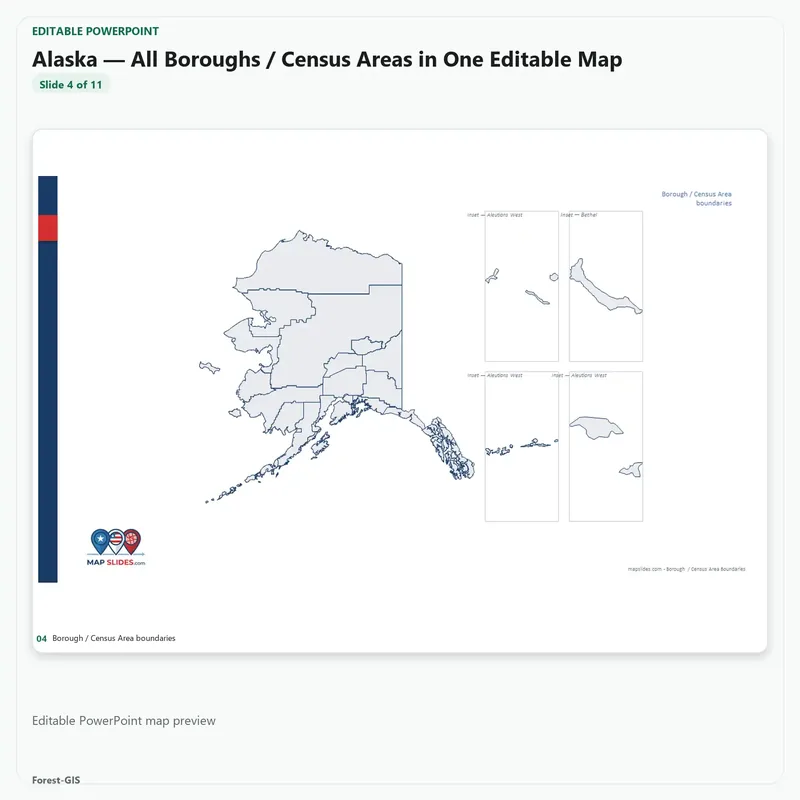
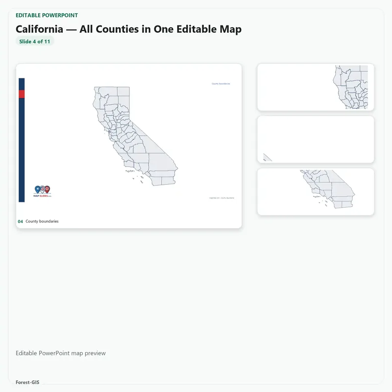
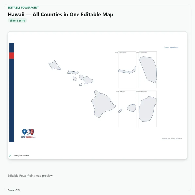
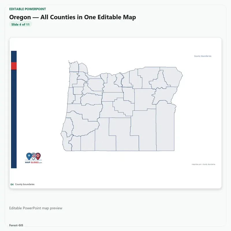
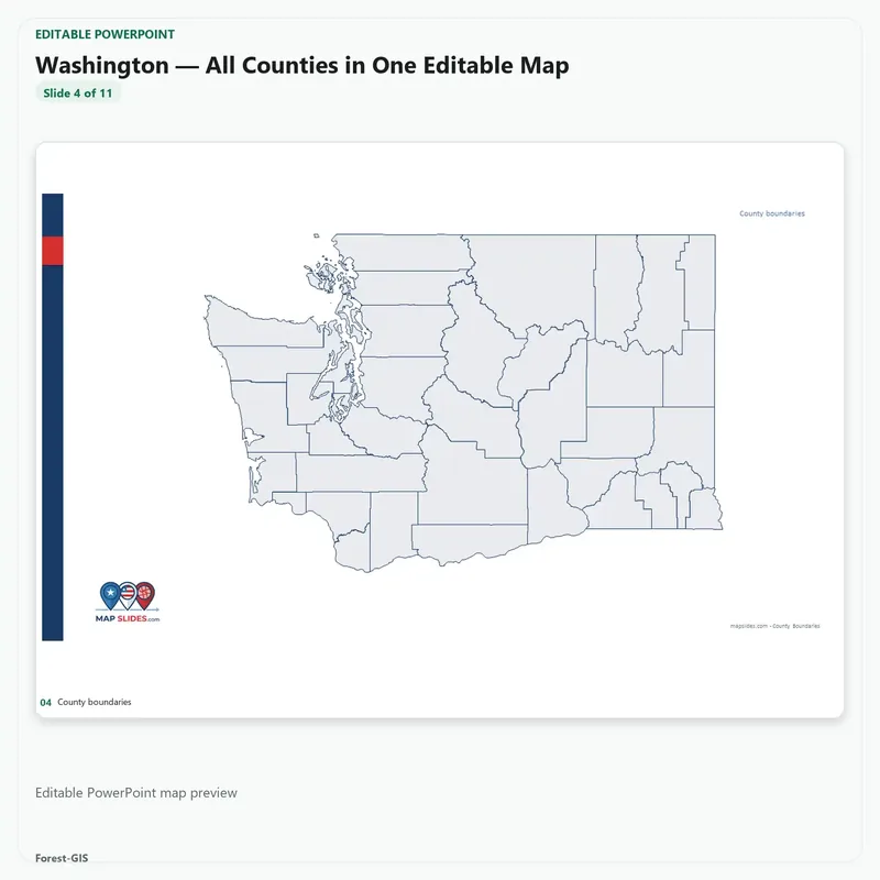
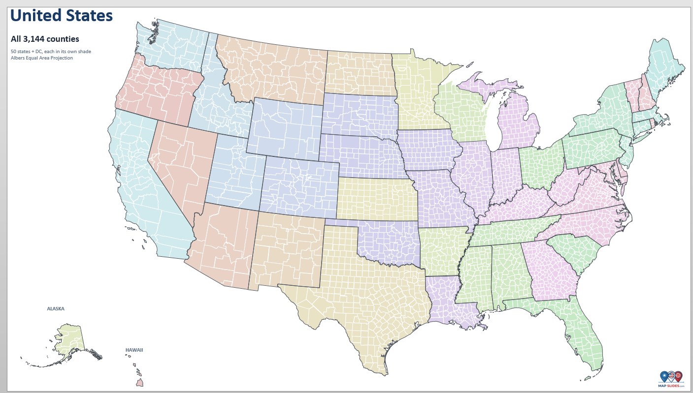
All 50 states plus the District of Columbia — 3,144 counties and county-equivalents — as 51 editable PowerPoint decks. This isn’t a picture of a map. Every boundary is a shape you can select, color, label and move. One purchase, fifty-one downloads.
Four blocks, one library
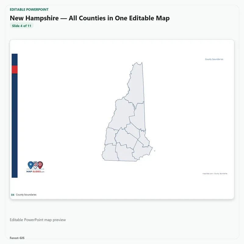
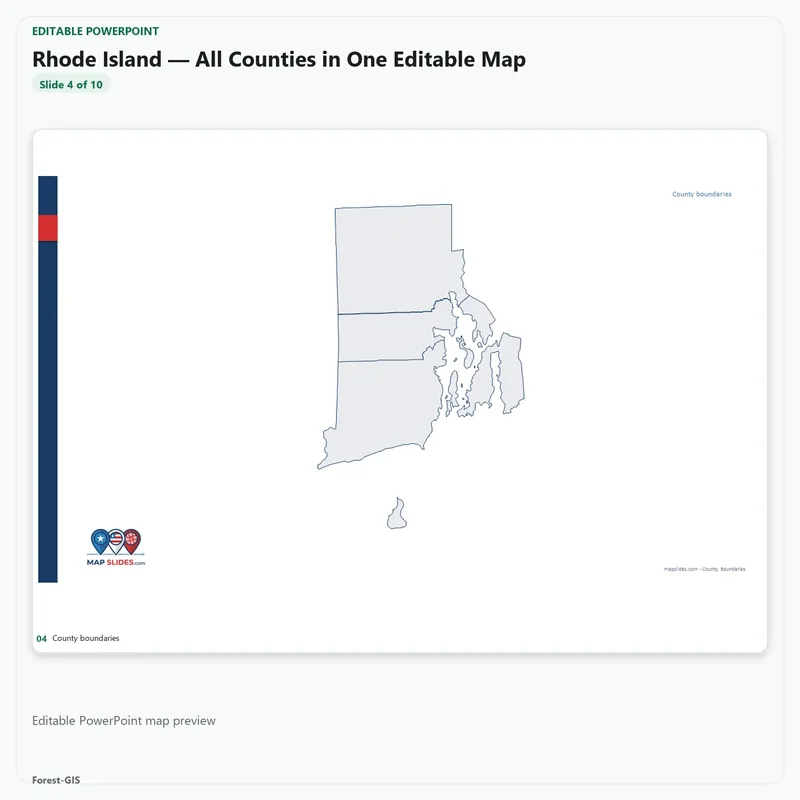
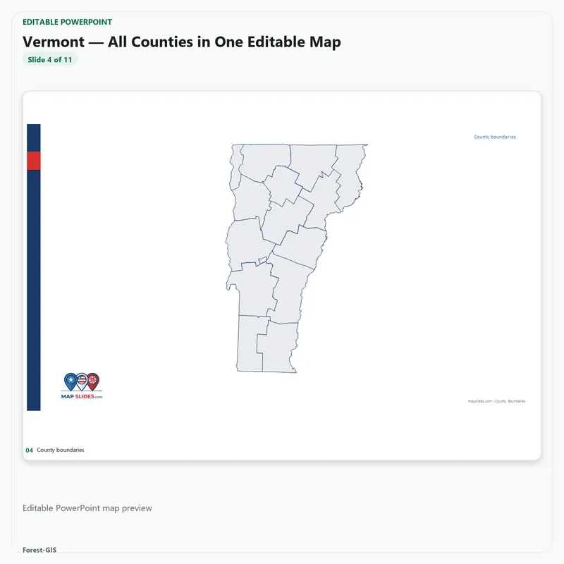
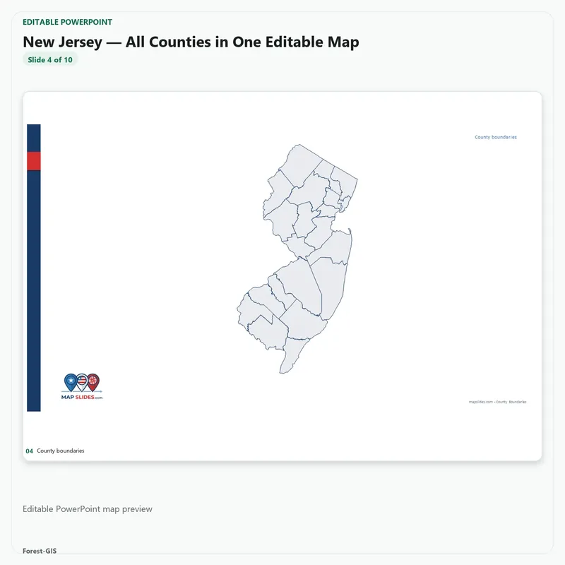
- Northeast — 9 states, 218 counties, Maine to Pennsylvania
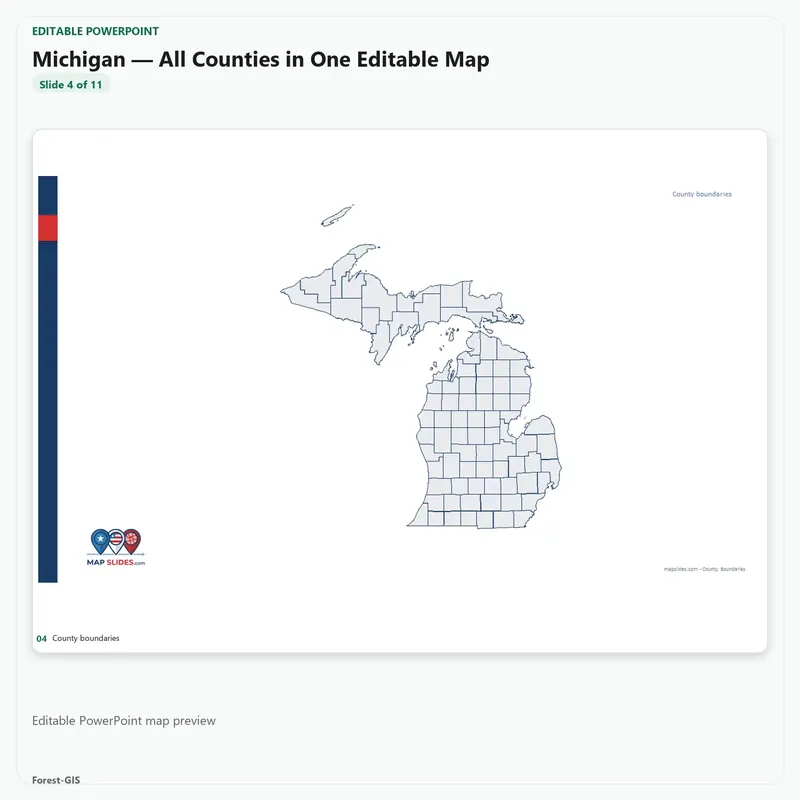
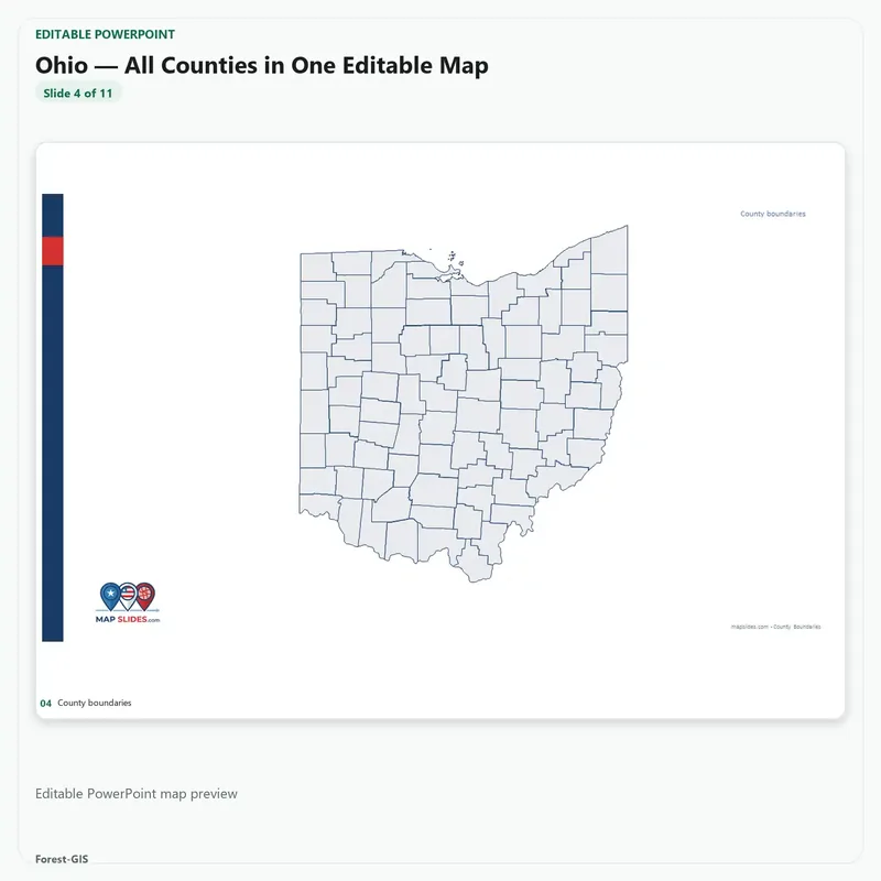
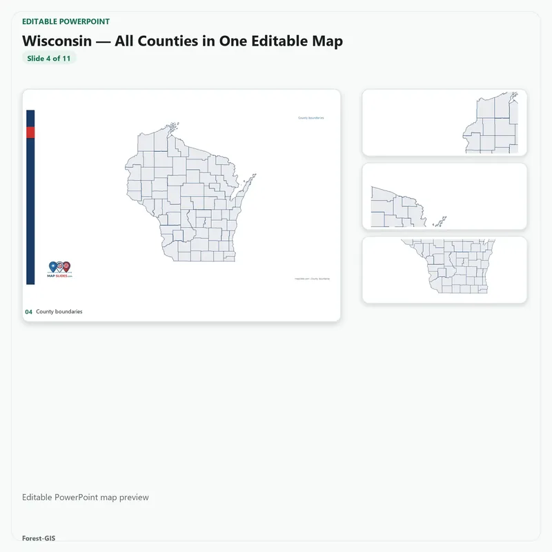
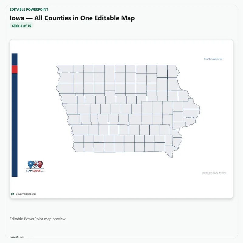
- Midwest — 12 states, 1,055 counties, Ohio to the Dakotas
- South — 16 states plus DC, 1,422 counties, Texas to Florida to Maryland
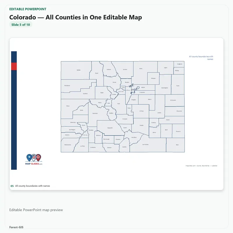
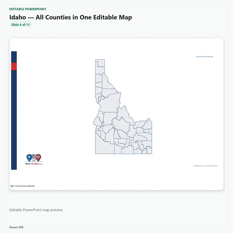
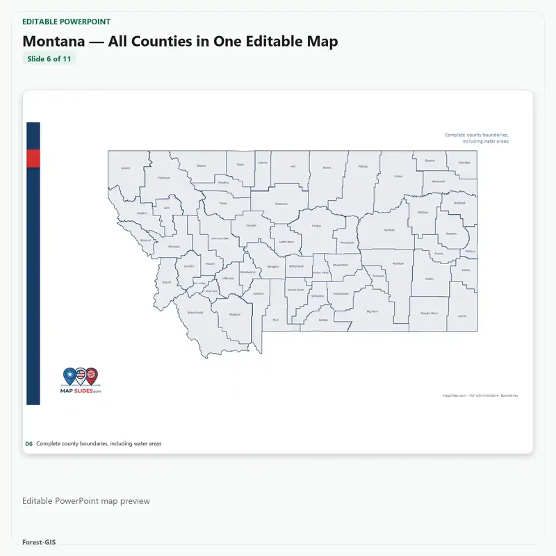
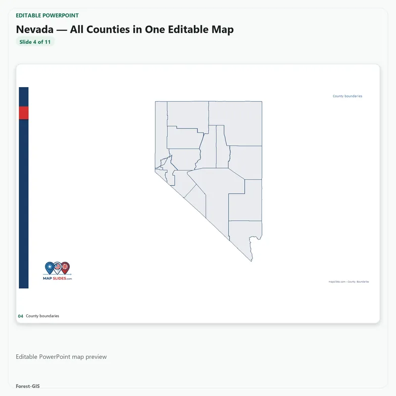
- West — 13 states, 449 counties, Alaska and Hawaii to Colorado
Every state stands on its own, so you can open Texas this morning and the Northeast states this afternoon — 51 finished decks, each editable down to the county. What the bundle does not contain is a separate, merged map of the whole country: the country is delivered as the 51 state decks.
What you can do with it
- Recolor any county, move any label, restyle any border — every shape is a real editable object, not artwork you’re stuck with
- Present one state at a time, or use the included one-slide map when you need the whole country in a single view
- Work in PowerPoint, Illustrator or InDesign — the SVG files carry the same geometry
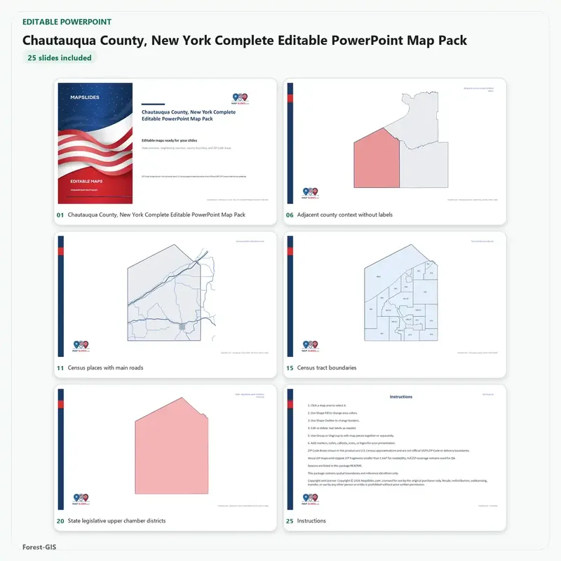
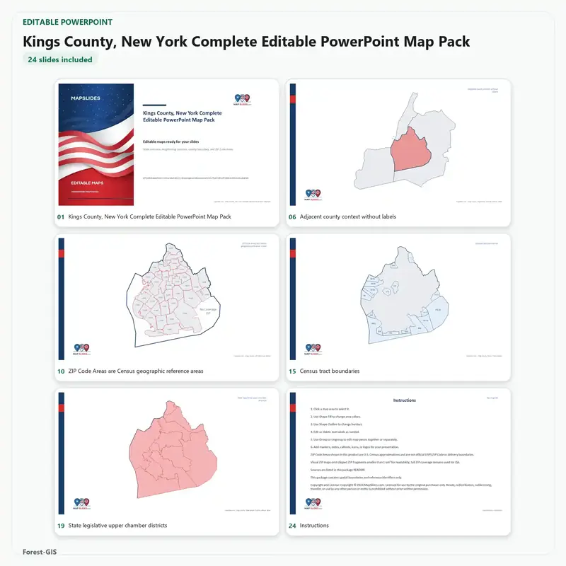
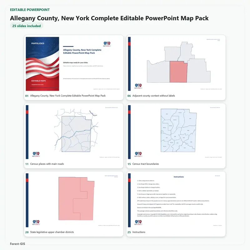
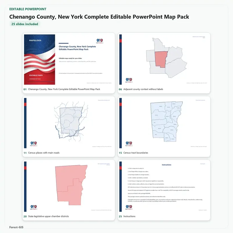
- Go deeper where the data exists: state context, ZIP Code Areas, Census tracts, school and legislative districts
What’s included
- 51 editable PowerPoint decks (.pptx), one per state plus DC
- SVG vector maps for design work
- 3,144 counties and county-equivalents
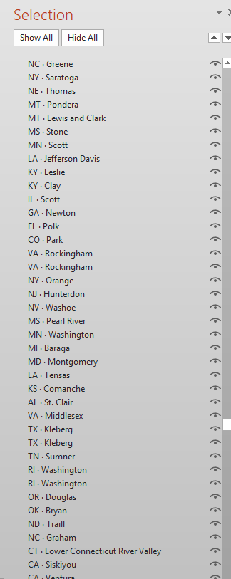
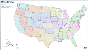
- Bonus: every U.S. county on one page in Albers projection, with all 51 state outlines grouped and named, so you can switch a state’s outline on or off from the Selection Pane
- Instant download, no subscription, the files are yours to keep
The arithmetic
Buying these states one at a time at today’s $14.95 per state pack costs $762.45. The bundle is $199 — about $3.90 a state, 74% off. Fourteen states bought separately already cost more than the whole library, so if your work touches more than a handful of states, the bundle is simply the cheaper way to get them.
Geography from U.S. Census TIGER/Line and Cartographic Boundary files. ZIP Code Areas are Census approximations, not official USPS delivery boundaries. See the free sample pack before you buy.


Reviews
There are no reviews yet.