Description
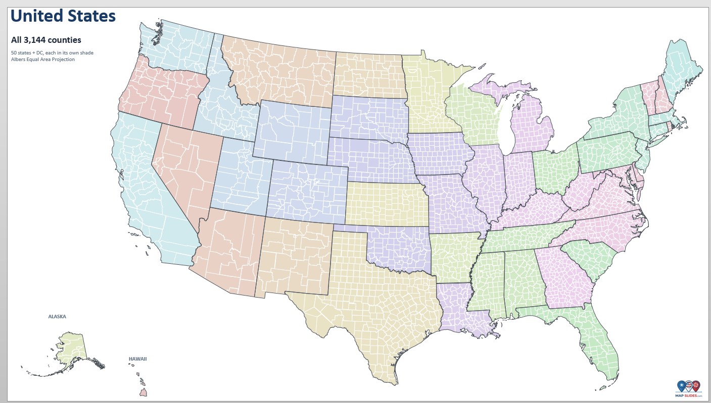
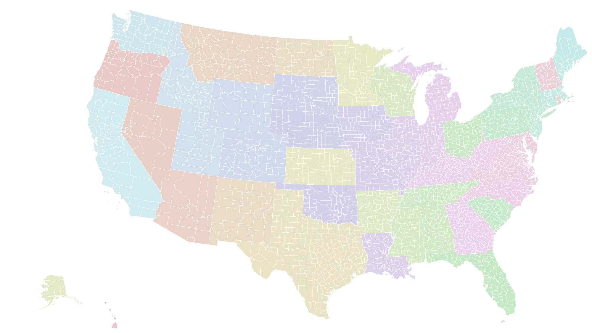
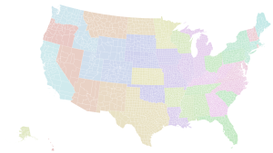
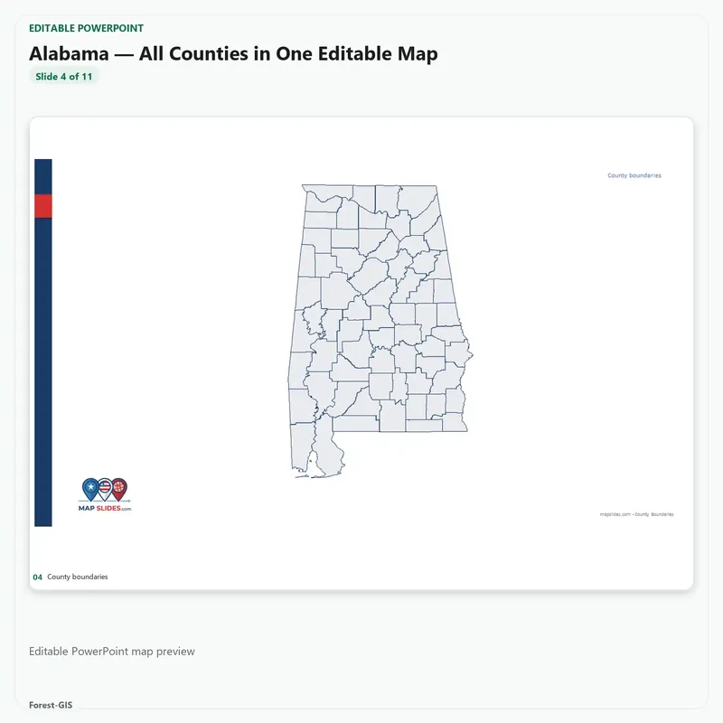
Every U.S. county on one slide. All 3,144 counties and county-equivalents — the whole country, 50 states plus DC — in a single editable PowerPoint slide, with Alaska and Hawaii inset and every state outline grouped and named.
This is the overview slide for when the point isn’t one state but the pattern across the country: coverage, territory, distribution, reach. One slide, no reassembly, no stitching fifty files together.
What makes it usable
- Every county is a real shape. Each one is separate, selectable and recolourable — no pictures, no merged artwork.
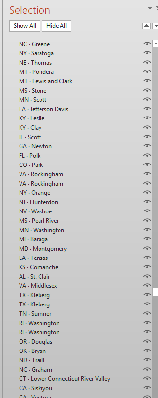
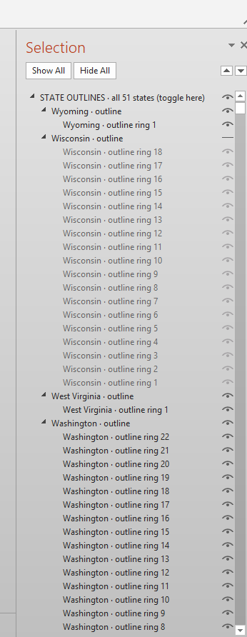
- State outlines are grouped and named. Open Home → Select → Selection Pane: one group holds all 51 outlines, and inside it every state sits under its own name. Switch the group off to hide every border at once; switch a single state to isolate it.
- Correct Albers projection. The lower 48 in conterminous Albers, Alaska at its own scale, Hawaii as an inset — the country looks right without stretching Alaska.
- Pale state shading built in. States are tinted so borders read at a glance; recolour any county on top and the rest stays put.
What you can do with it
- Colour counties by any data you have — sales, coverage, population, risk, votes
- Hide the outline group, or one state, in a single click — every object is named in the Selection Pane, so finding the shape you want to colour takes seconds instead of clicking around the map.
- Add your own labels, callouts, legend and title around the map
- Drop it into a deck, export a PNG for a report, or present it full-screen
What’s included
- 1 × .pptx file, 16:9 widescreen, one slide
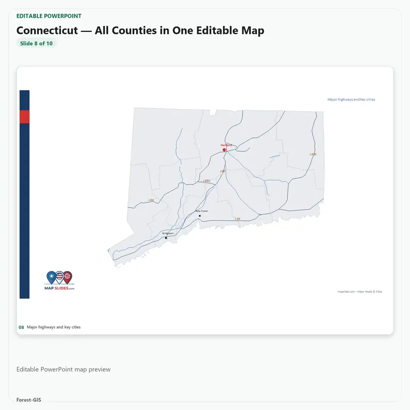
- 3,144 county shapes from U.S. Census 2023 boundaries (including Connecticut’s 9 planning regions)
- 51 named state outline groups inside one toggleable group
- Alaska and Hawaii insets, no territories
Good to know
- Opens in PowerPoint 2016 or later and Microsoft 365; also fine in Keynote and LibreOffice.
- Google Slides can import it, but a slide this dense is heavy there — PowerPoint is the better home.
- Counties are unlabelled by default; 3,000+ names on one slide would be unreadable. Add labels only where you need them.
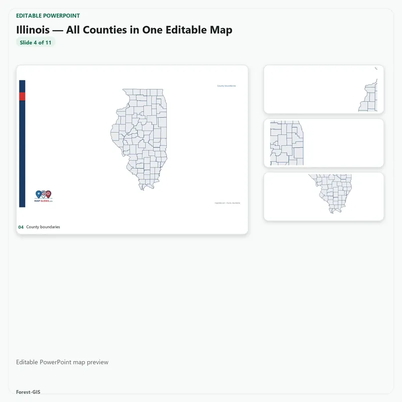
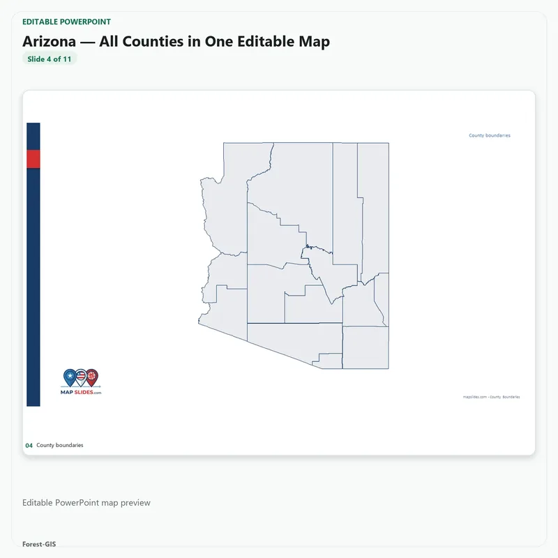
- Not included: individual state decks, ZIP Code Areas, tracts or districts — those live in the state packs and bundles.
- Save a copy of the file before you start editing.
Geography from U.S. Census TIGER/Line and Cartographic Boundary files. Instant download, files are yours to keep — unlimited personal and commercial use.


Reviews
There are no reviews yet.