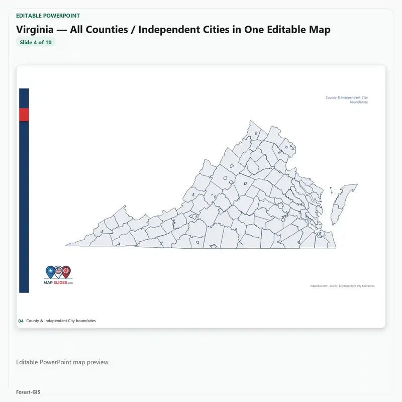
Virginia — All Counties / Independent Cities in One Editable Map
$14.95
PPTX editable PowerPoint
SVG vector artwork
ZIP instant download
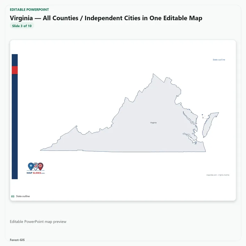
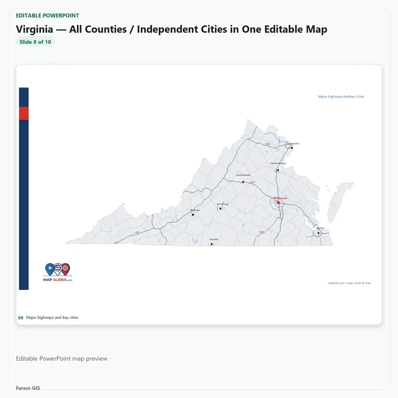
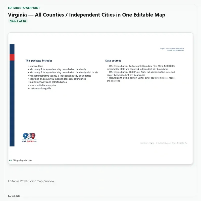
Statewide map — boundary level. Every county in the state across a full editable deck: state outline, county boundaries with and without labels, coastlines and water areas, major highways and key cities. Built for showing where places sit across the whole state. Need roads, ZIP Code Areas, Census tracts, school districts or legislative districts for one county? Those are in the
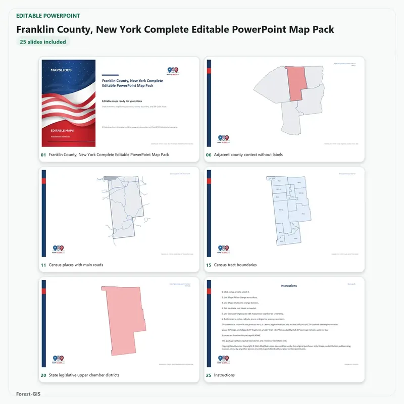
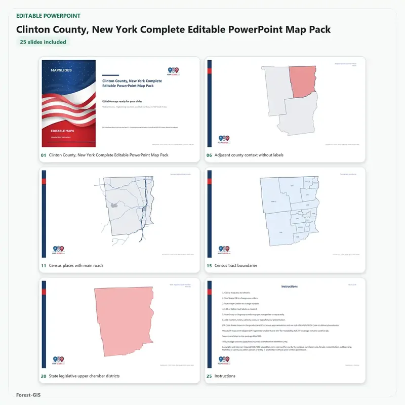
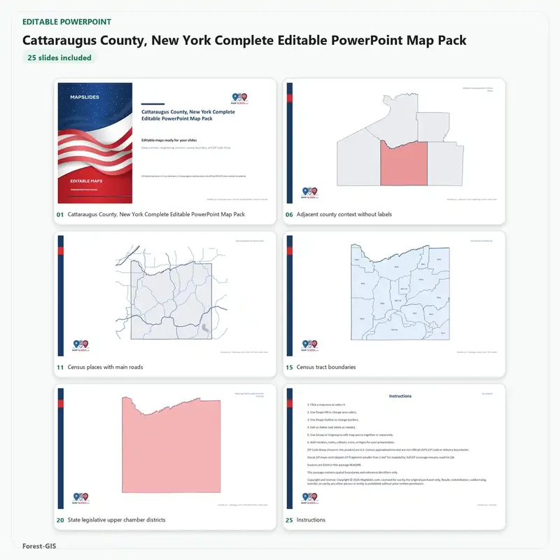
county detail packs.
Why does a county pack cost more than a state map?
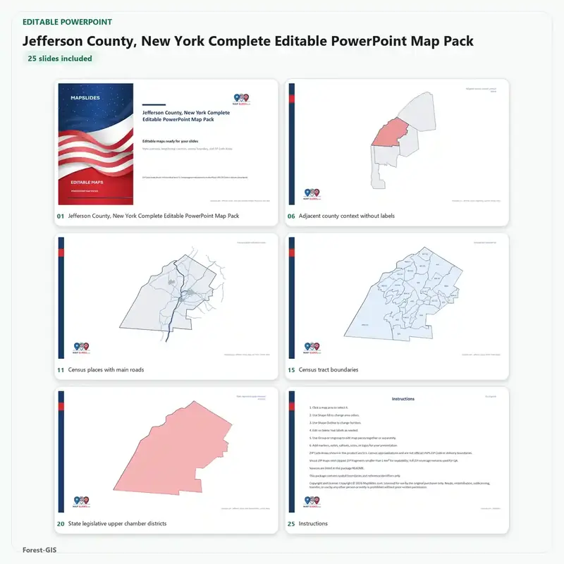
They answer different questions. The statewide map covers every county at boundary level, across a full deck — good for showing where places sit across the state. A county pack goes deep inside one county: roads, Census tracts, ZIP Code Areas, school districts and legislative districts, each as its own editable layer, which is hard to find anywhere else. If you need the detail inside a county, that is the pack for you.
Instant digital download
Editable PowerPoint + vector maps
No subscription



Reviews
There are no reviews yet.