Description
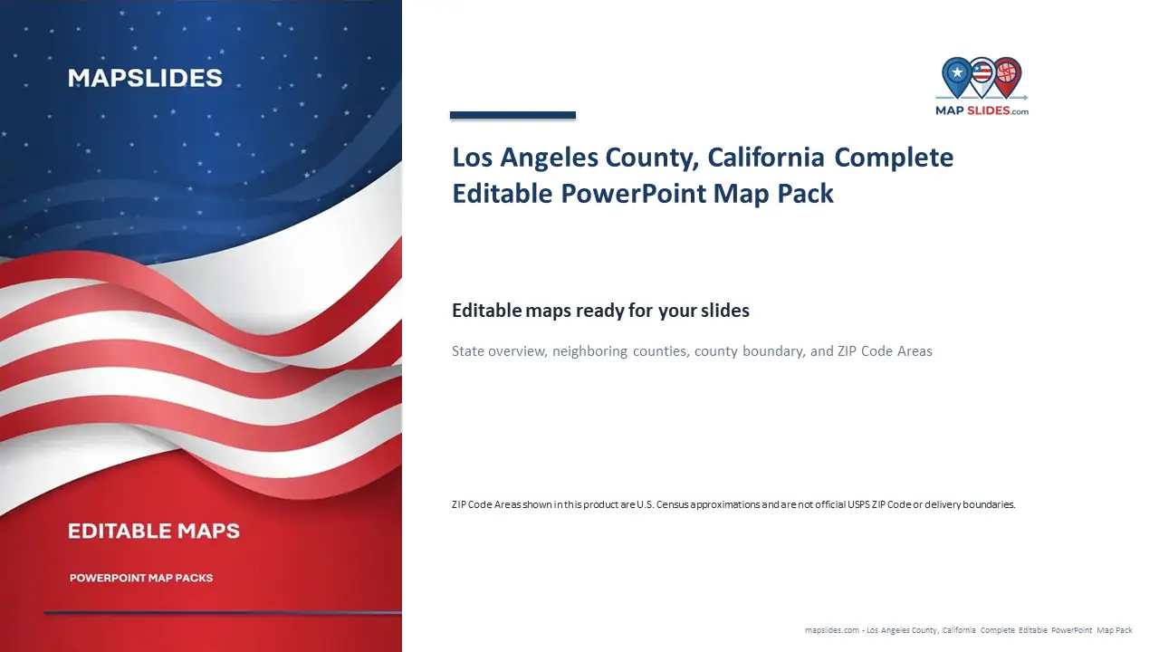
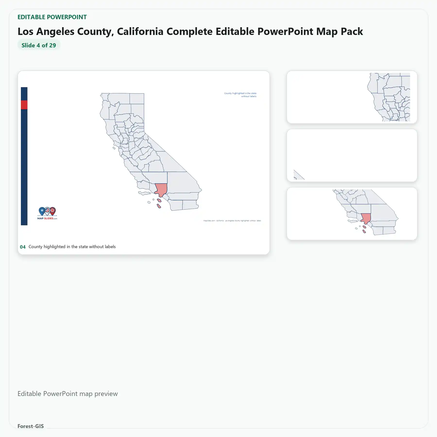
Los Angeles County, California Editable Map Pack provides editable PowerPoint and SVG vector map content for Los Angeles County, California. This instant digital download includes only the editable files and map layers listed below.
What’s included
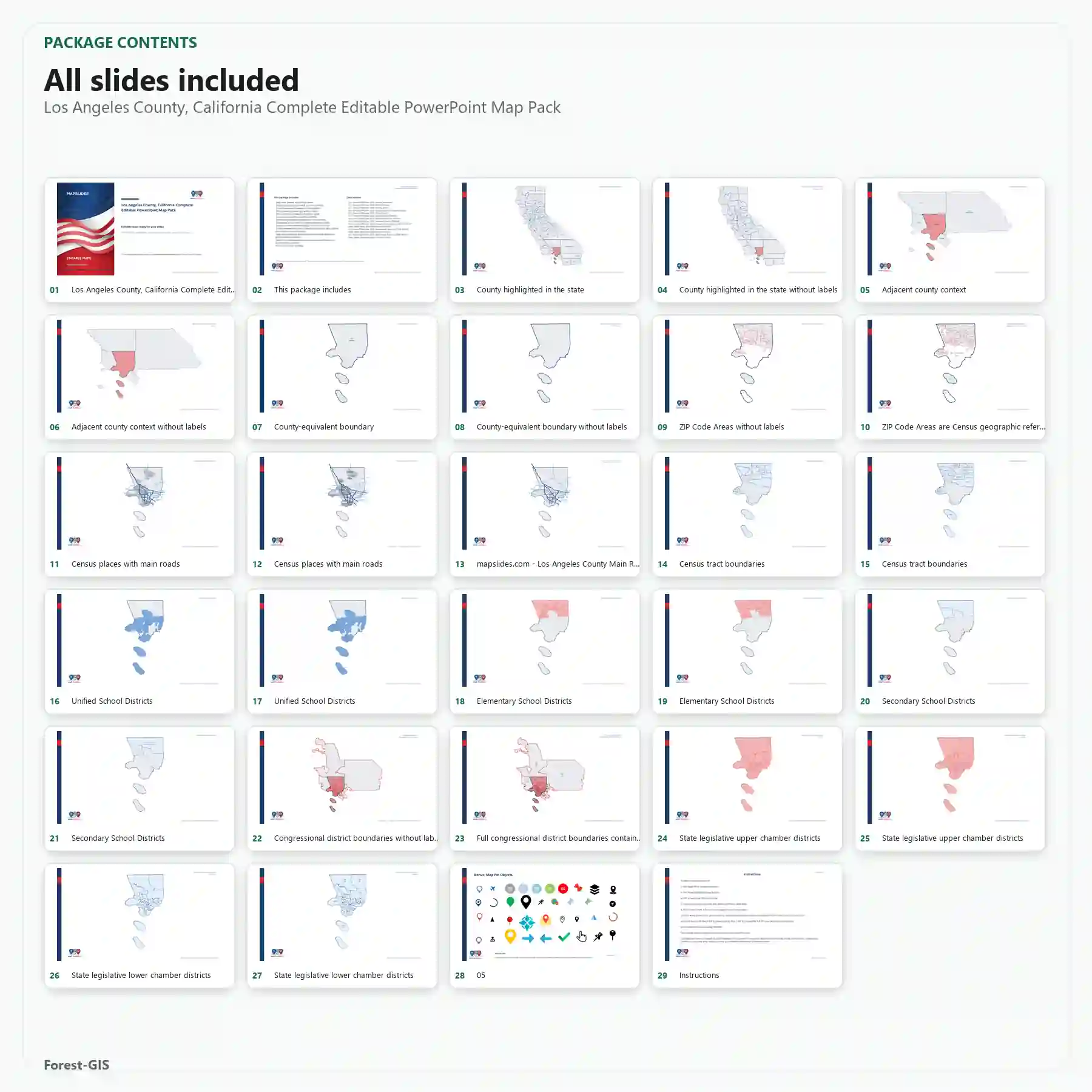
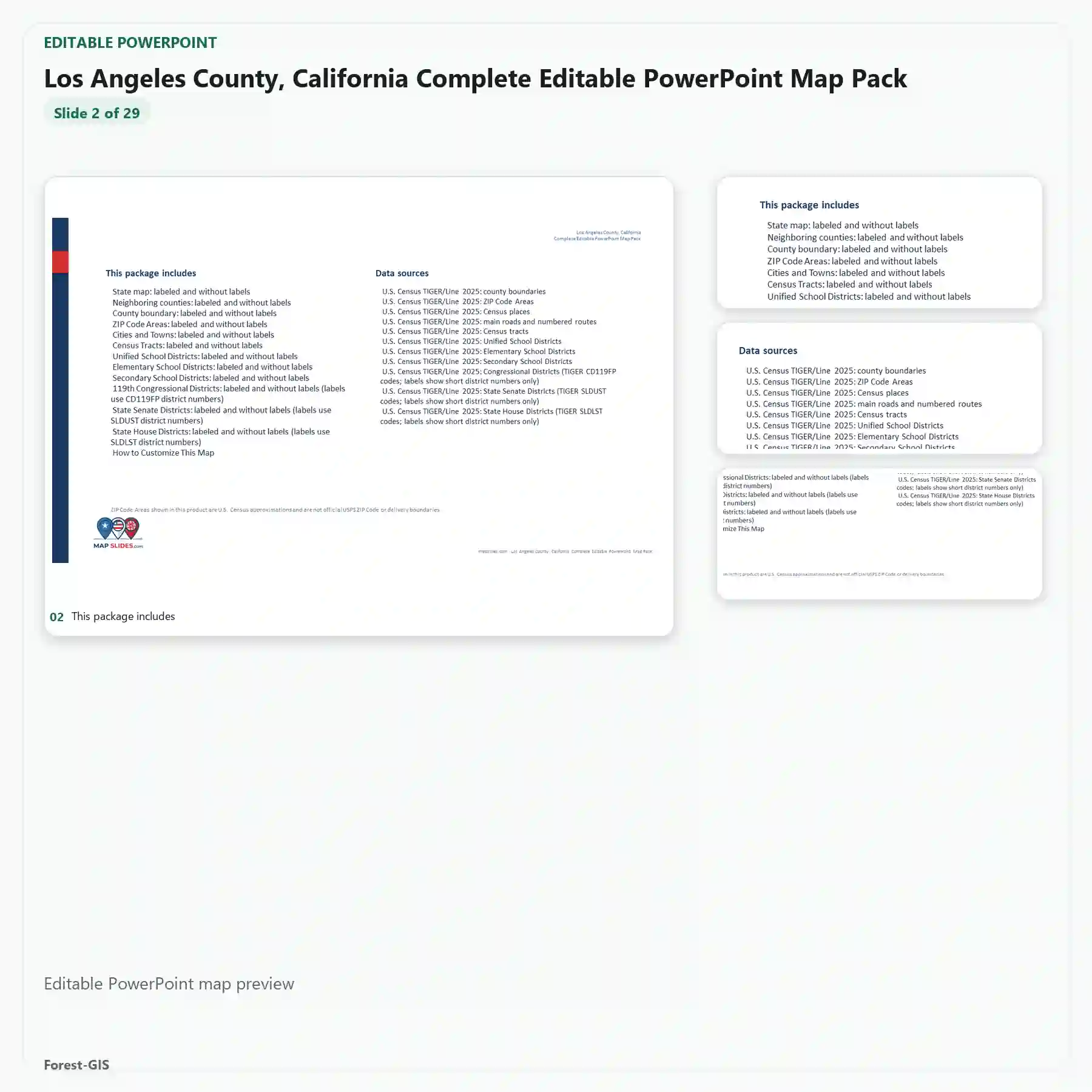
- Editable PowerPoint map for Los Angeles County, California
- Editable SVG vector map artwork
- Census tracts
- Cities and towns roads
- Congressional districts
- County base
- Neighboring counties
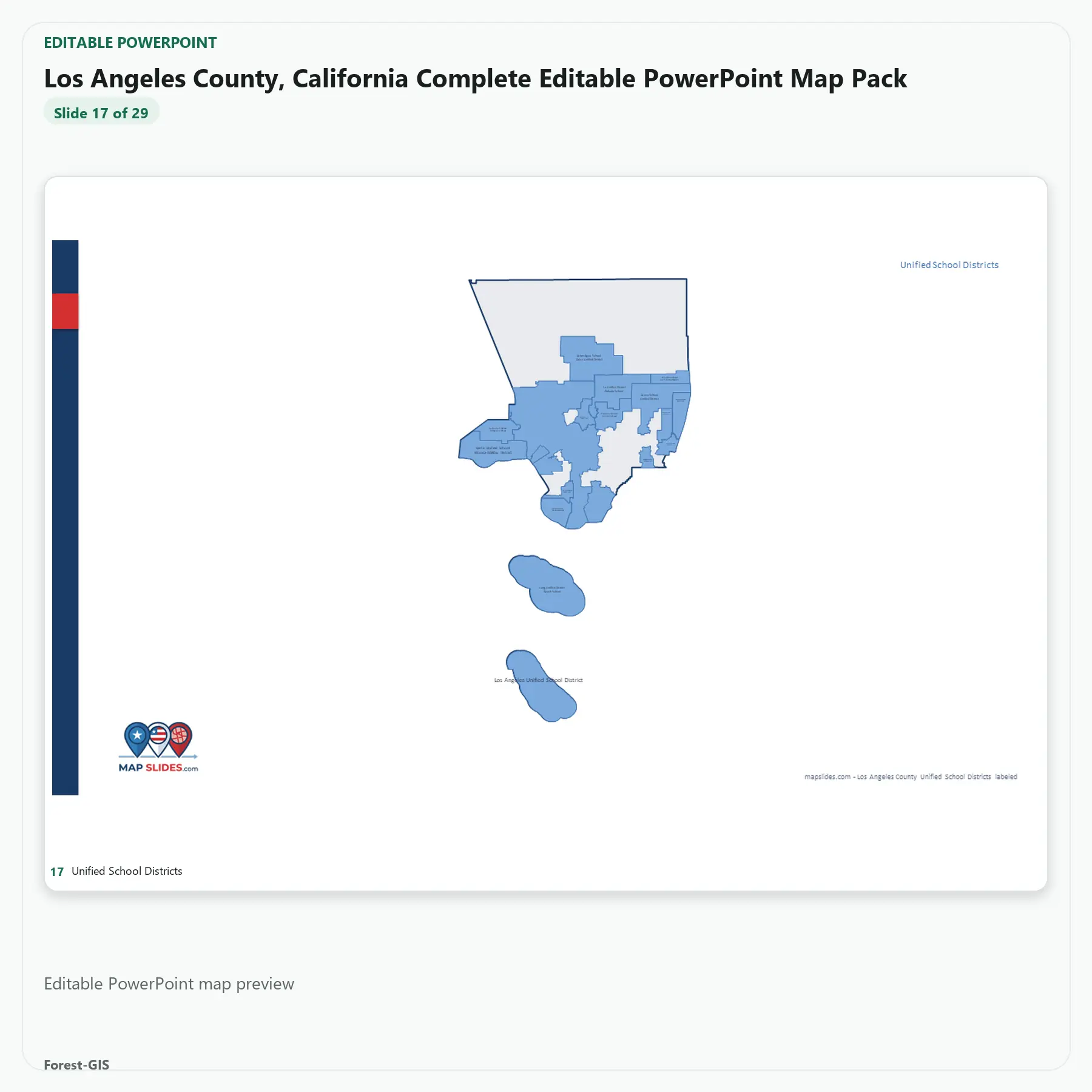
- School districts
- State house districts
- State senate districts
- ZIP Code Areas
ZIP Code Areas are U.S. Census statistical boundaries and are not official USPS delivery boundaries.
Los Angeles County Editable Map: Buyer Questions
Which geographic layers are included?
The Los Angeles County map pack lists census tracts, ZIP Code Areas (ZCTAs), school districts, congressional and state legislative boundaries, neighboring counties and a county base map. Formats include editable PowerPoint and SVG.
Are ZIP Code Areas the same as USPS delivery ZIP codes?
No. Census ZCTAs are statistical approximations of ZIP Code service areas, not official USPS delivery routes. They are useful for many geographic visualizations but should not be treated as authoritative postal-service boundaries.
Where can I find related editable maps?
Explore the California editable county map, Orange County, California map pack, and San Diego County, California map pack. Each has its own geographic scope and available layers.
Included in this Editable Map Pack:
- Editable PowerPoint (PPTX) file
- Scalable Vector Graphics (SVG) file
- County boundaries, roads, and customizable labels
Ideal Use Cases:
Perfect for sales territory alignment, real estate presentations, municipal planning, and educational projects. Our maps are built to scale for high-quality printing and digital displays.


Reviews
There are no reviews yet.