Description
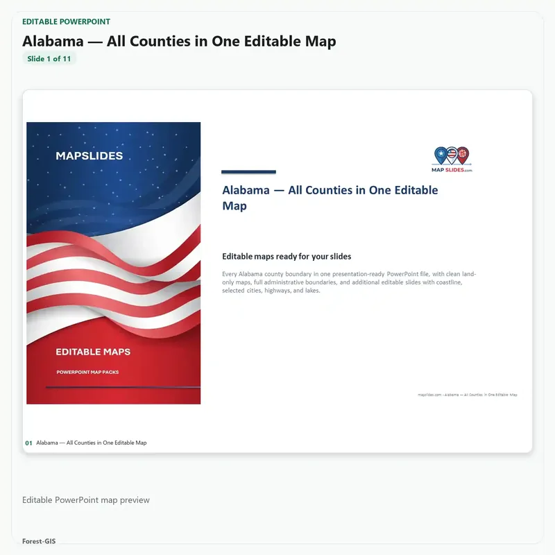
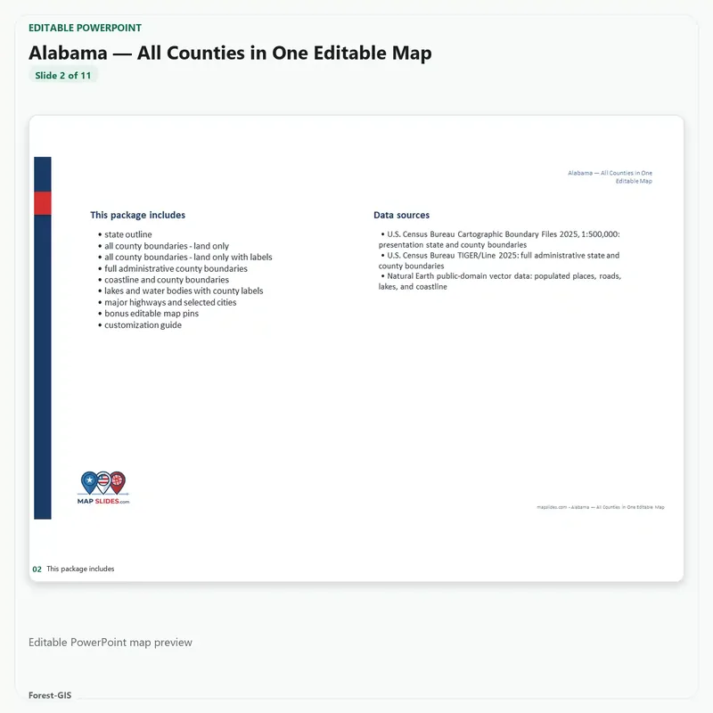
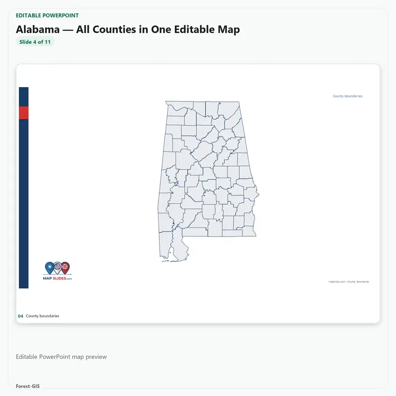
Alabama — All Counties, Statewide Editable Map (PPTX + SVG) provides editable PowerPoint and SVG vector map content for Alabama. This instant digital download includes only the editable files and map layers listed below.
What’s included
- Editable PowerPoint map for Alabama
- Editable SVG vector map artwork
- Full Administrative County Boundaries
- County Boundaries — Labeled
- County Boundaries without labels
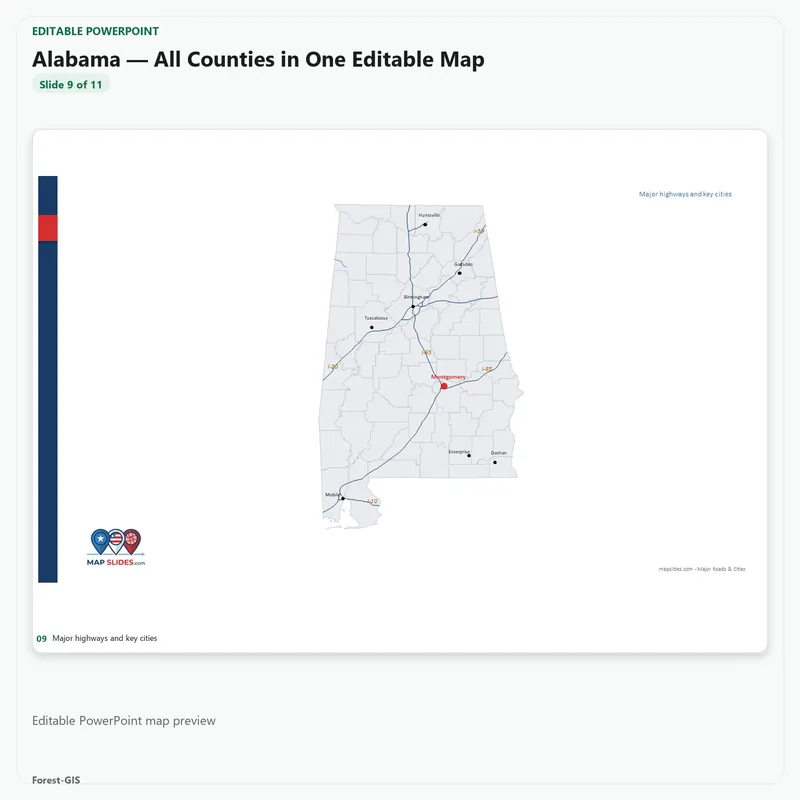
- Major highways and cities
- Major lakes and reservoirs
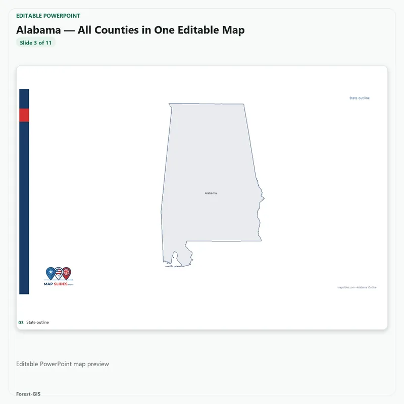
- State boundary
Alabama Editable County Map: What You Get
Can I customize county colors and labels?
The Alabama download includes editable PowerPoint and SVG map files, with labeled and unlabeled county layouts. You can adapt the artwork for reporting, planning and presentations.
What reference features accompany the county boundaries?
The product lists major highways and cities, plus lakes and reservoirs. Check the full inventory of included files above when selecting the right level of geographic detail.
What if I need multi-state sales coverage?
See the Southeast editable sales territory PowerPoint bundle for regional coverage. It is a separate product with different geographic scope.
Included in this Editable Map Pack:
- Editable PowerPoint (PPTX) file
- Scalable Vector Graphics (SVG) file
- County boundaries, roads, and customizable labels
Ideal Use Cases:
Perfect for sales territory alignment, real estate presentations, municipal planning, and educational projects. Our maps are built to scale for high-quality printing and digital displays.


Reviews
There are no reviews yet.