
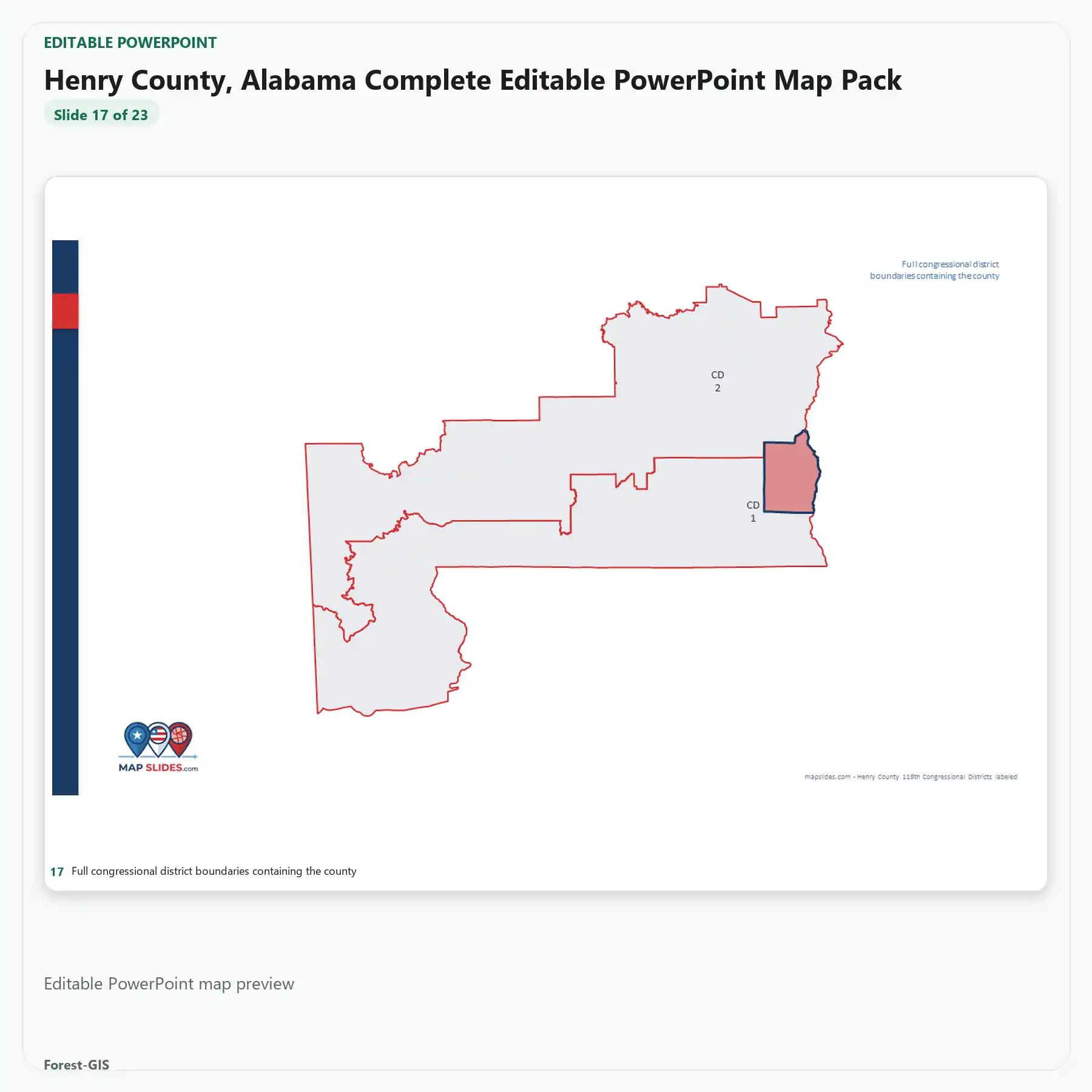
Description
Henry County, Alabama Editable Map Pack provides editable PowerPoint and SVG vector map content for Henry County, Alabama. This instant digital download includes only the editable files and map layers listed below.
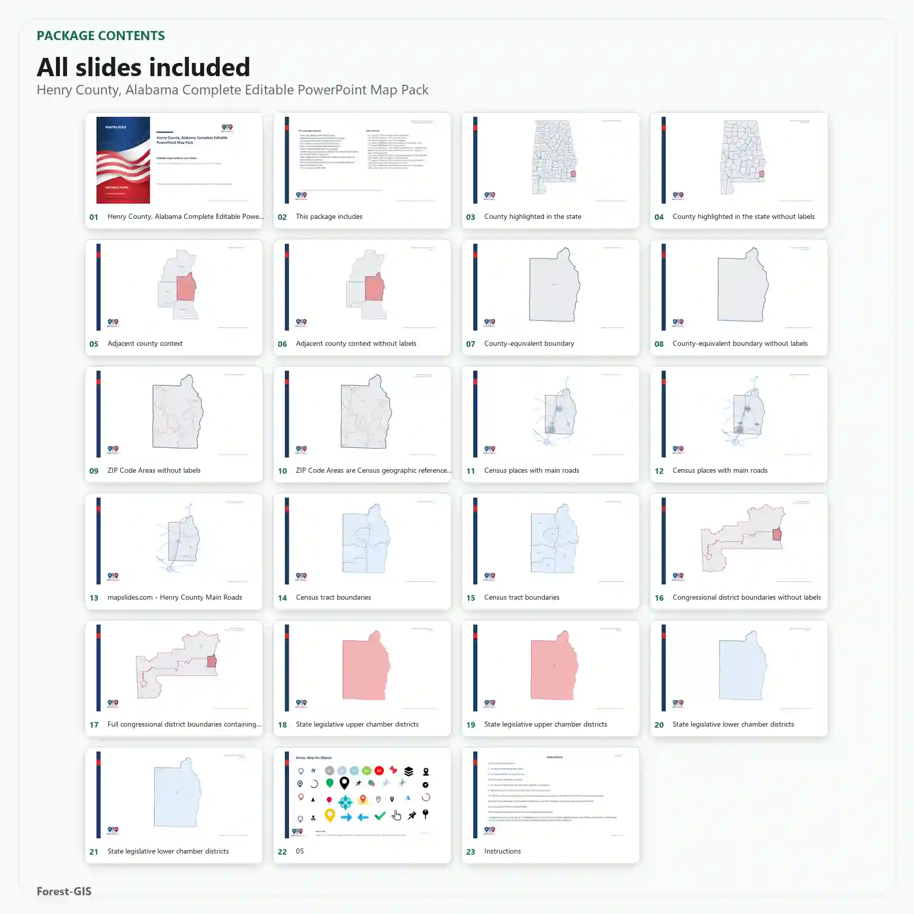
What’s included
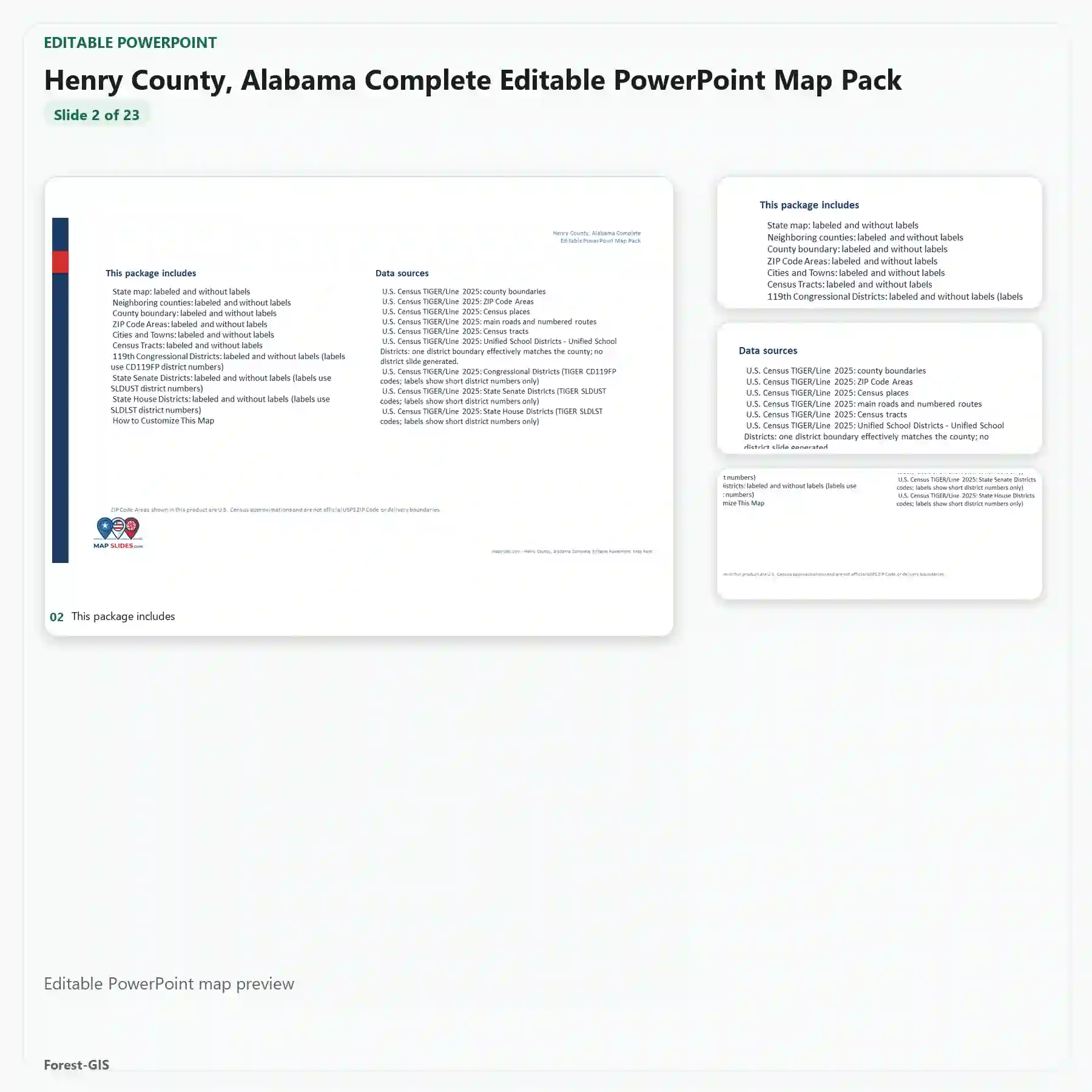
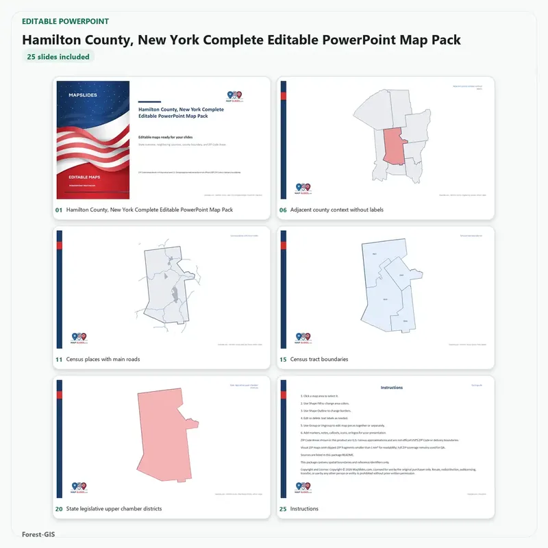
- Editable PowerPoint map for Henry County, Alabama
- Editable SVG vector map artwork
- Census tracts
- Cities and towns roads
- Congressional districts
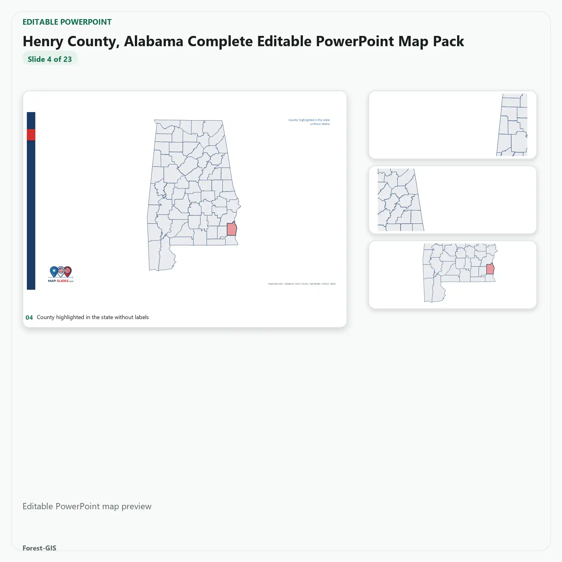
- County base
- Neighboring counties
- State house districts
- State senate districts
- ZIP Code Areas
ZIP Code Areas are U.S. Census statistical boundaries and are not official USPS delivery boundaries.
Included in this Editable Map Pack:
- Editable PowerPoint (PPTX) file
- Scalable Vector Graphics (SVG) file
- County boundaries, roads, and customizable labels
Ideal Use Cases:
Perfect for sales territory alignment, real estate presentations, municipal planning, and educational projects. Our maps are built to scale for high-quality printing and digital displays.


Reviews
There are no reviews yet.